
Slavskoye, Russia, human settlement in Bagrationovsky District, Kaliningrad Oblast, Russia
Location: Bagrationovsky District
Inception: 1240
Elevation above the sea: 47 m
GPS coordinates: 54.49778,20.44306
Latest update: March 10, 2025 19:29
Fort № 11 Denkhoff
19.4 km
Brandenburg Castle
18 km
Preußisch Eylau Castle
17.4 km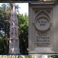
Monument in honor of the battle of Preussisch-Eylau
18.9 km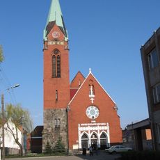
Rosenau Church
21.4 km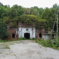
Fort VIII in Kaliningrad
18.6 km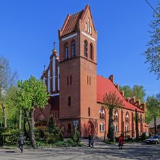
Ponarth Church
20.6 km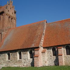
Village Church
12.7 km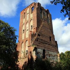
Brandenburg Church
17.9 km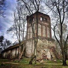
Kirche Pörschken
15.8 km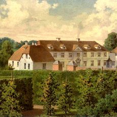
Schloss Kilgis
2.7 km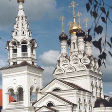
Saints Faith, Hope, Charity and their mother Sophia church in Bagrationovsk
17.5 km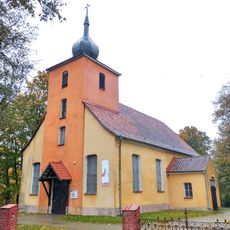
Kościół Narodzenia Najświętszej Maryi Panny w Kandytach
20.6 km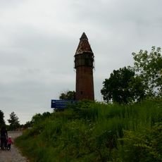
Kornevo water tower
11.5 km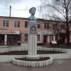
Бюст П. Морозова (Калининград)
20.4 km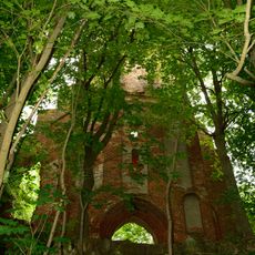
Zinten Kirche
11.4 km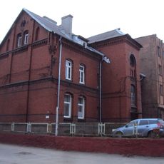
Административное здание (Калининград)
21.4 km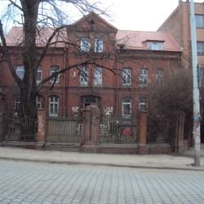
Жилой дом (Калининград)
21.4 km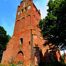
Lutheran church in Tharau
9 km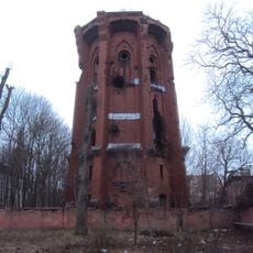
Водонапорная башня (Калининград)
21.4 km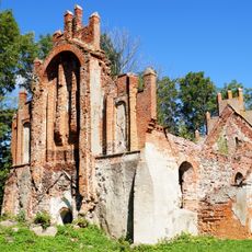
Кирха Абшвангена (Тишино)
20.5 km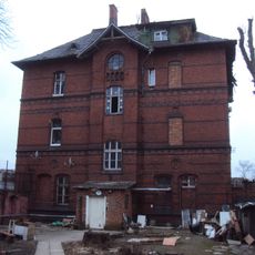
Жилой дом (Калининград)
21.4 km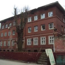
Slaughterhouse in Kaliningrad
21.4 km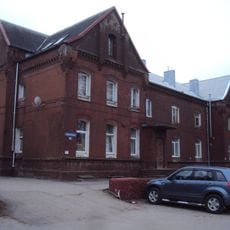
Жилой дом (Калининград)
21.4 km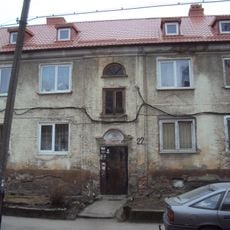
Жилой дом (Калининград)
21.5 km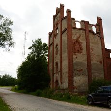
Zinten water mill
11 km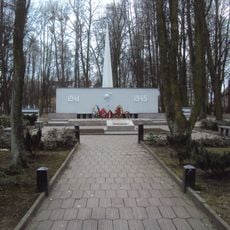
Мемориальный комплекс (Калининград)
20.6 km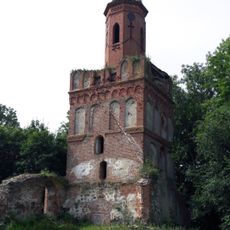
Приходская церковь (Чехово)
18.3 kmReviews
Visited this place? Tap the stars to rate it and share your experience / photos with the community! Try now! You can cancel it anytime.
Discover hidden gems everywhere you go!
From secret cafés to breathtaking viewpoints, skip the crowded tourist spots and find places that match your style. Our app makes it easy with voice search, smart filtering, route optimization, and insider tips from travelers worldwide. Download now for the complete mobile experience.

A unique approach to discovering new places❞
— Le Figaro
All the places worth exploring❞
— France Info
A tailor-made excursion in just a few clicks❞
— 20 Minutes