Svetloyarsky District

Log in to your account

AroundUs is a community-driven map of interesting places, built by curious explorers like you. It grows with every review, story, and photo you share.
Connect to save your favorite spots, contribute locations, and create personalized routes.
By continuing, you accept our Terms and Conditions and our Privacy Policy

Svetloyarsky District

Add to collection
Map
Suggest a change
Share

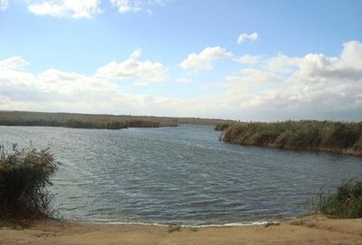
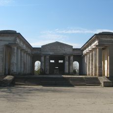
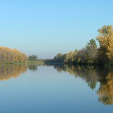
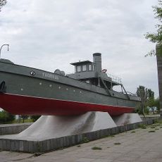
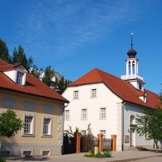
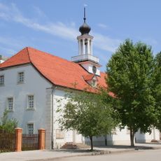
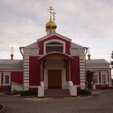
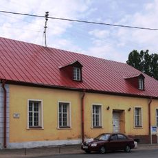
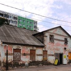
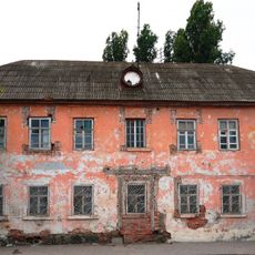
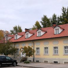
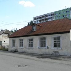
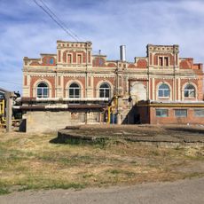
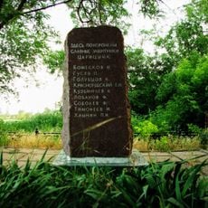
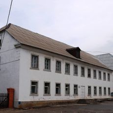
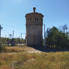
Svetloyarsky District, human settlement in Russia

Location: Volgograd Oblast

Inception: June 23, 1928

Capital city: Svetly Yar

Website: http://svyar.ru

GPS coordinates: 48.46670,44.78330

Latest update: March 9, 2025 10:11

Around this place
Show the full map
Monument to Lenin at the entrance of the Volga-Don canal
Russian Federation

Monument to Lenin at the entrance of the Volga-Don canal

17.9 km
Mortuary in Volzhsky
Russian Federation

Mortuary in Volzhsky

32.5 km
Volga-Akhtuba Floodplain
Russian Federation

Volga-Akhtuba Floodplain

23.1 km
Sarpinsky
Russian Federation

Sarpinsky

21.6 km
Gasitel
Russian Federation

Gasitel

32.5 km
Old Sarepta
Russian Federation

Old Sarepta

17.9 km
Kirche in Sarepta
Russian Federation

Kirche in Sarepta

17.9 km
Church of St. Paraskeva Pyatnitsa in Volgograd
Russian Federation

Church of St. Paraskeva Pyatnitsa in Volgograd

30.6 km
Thälmann Street 7, Volgograd
Russian Federation

Thälmann Street 7, Volgograd

17.9 km
Железнодорожный вокзал станции Канальная (бывшая Тундутово)
Russian Federation

Железнодорожный вокзал станции Канальная (бывшая Тундутово)

29.7 km
House
Russian Federation

House

18.1 km
Hotel
Russian Federation

Hotel

18 km
Distillery
Russian Federation

Distillery

18 km
Central Concert Hall in Volgograd
Russian Federation

Central Concert Hall in Volgograd

32.5 km
Palace of Culture and Sience "Chemist"
Russian Federation

Palace of Culture and Sience "Chemist"

18.3 km
Thälmann Street 3, Volgograd
Russian Federation

Thälmann Street 3, Volgograd

17.9 km
Bekker's House
Russian Federation

Bekker's House

18 km
Obshchinnaya uprava
Russian Federation

Obshchinnaya uprava

18 km
Thälmann Street 5, Volgograd
Russian Federation

Thälmann Street 5, Volgograd

17.9 km
Single brothers house
Russian Federation

Single brothers house

17.9 km
Maximov brothers plant - plant management
Russian Federation

Maximov brothers plant - plant management

32.4 km
Maximov brothers plant - heating plant
Russian Federation

Maximov brothers plant - heating plant

32.3 km
Mass grave of the defenders of Red Tsaritsyn
Russian Federation

Mass grave of the defenders of Red Tsaritsyn

32.6 km
Dom nezamuzhnikh sester
Russian Federation

Dom nezamuzhnikh sester

17.9 km
Водонапорная башня станции Канальная (бывшая Тундутово)
Russian Federation

Водонапорная башня станции Канальная (бывшая Тундутово)

29.7 km
Kinoteatr Yubileyny
Russian Federation

Kinoteatr Yubileyny

17 km
Residential buildings
Russian Federation

Residential buildings

29.8 km
Dom pastora
Russian Federation

Dom pastora

18 km
Show the full map

Reviews

Visited this place? Tap the stars to rate it and share your experience / photos with the community! Try now! You can cancel it anytime.

« Svetloyarsky District - human settlement in Russia » is provided by Around Us (aroundus.com). Images and texts are derived from Wikimedia project under a Creative Commons license. You are allowed to copy, distribute, and modify copies of this page, under the conditions set by the license, as long as this note is clearly visible.

Discover hidden gems everywhere you go!

From secret cafés to breathtaking viewpoints, skip the crowded tourist spots and find places that match your style. Our app makes it easy with voice search, smart filtering, route optimization, and insider tips from travelers worldwide. Download now for the complete mobile experience.

Around Us App Screenshot

A unique approach to discovering new places

Le Figaro

All the places worth exploring

France Info

A tailor-made excursion in just a few clicks

20 Minutes