Chest opened
+${chestReward.xp} XP
Explorer
NOUVEAU ×${chestReward.collectible.quantity}
tapez pour fermer
Chest locked

Open chests in the app

Around Us is built for your phone — chests unlock when you walk, explore and capture nearby places.

Enable Location

We need your location to show you interesting places around you

Discover nearby places

Find interesting locations and hidden gems around you

Precise directions

Get accurate directions and distances to places

Your location is never shared with other users. It's only used when you tap the location button.

Sharansky District

Log in to your account

Start exploring — it's free

Trusted by 72,888 travelers worldwide

Continue with Google
Continue with Apple
or

We will send you a code to connect

By continuing, you accept our Terms and Conditions and our Privacy Policy

Check your inbox

We've sent a pincode in your inbox. Please enter the code below.

Sharansky District
Discussion Reviews 1 Photos
10.4k Popularity

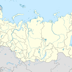
Sharansky District, Municipal district in Bashkortostan, Russia

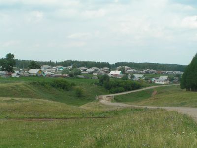
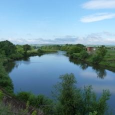
Sharansky District is a municipal district in the Republic of Bashkortostan, in the eastern part of European Russia, with the town of Sharan as its administrative center. It covers a rural area made up of scattered villages surrounded by farmland and stretches of forest.

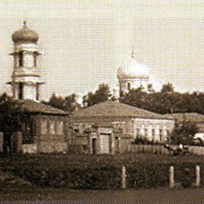
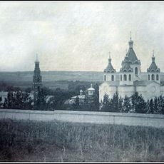
Sharansky District was created in 1935 as part of Soviet administrative reforms that reorganized the region into smaller units. A reorganization in 1966 adjusted its boundaries and gave it the form it retains today.

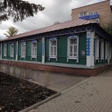
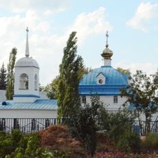
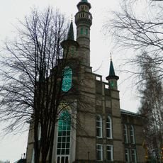
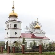
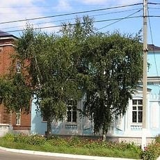
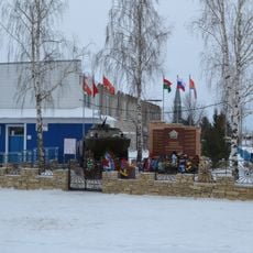
Russian and Bashkir communities have lived side by side here for generations, and this mix is visible in the place names across the area. Local markets and small farms are a natural part of daily life that any visitor passing through can observe.

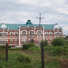
The administrative center Sharan is reachable by regional roads that connect most villages, but having your own vehicle is strongly recommended. Accommodation and services in rural areas are very limited, so planning ahead before setting out is a good idea.

Some settlements in the district have only a handful of residents but remain listed as separate localities on official maps. This shows how the Soviet-era settlement system left a lasting mark on the rural geography of the region.

The community of curious travelers

AroundUs brings together thousands of curated places, local tips, and hidden gems, enriched daily by 60,000 contributors worldwide.

Start exploring
Location
Inception
January 31, 1935
Capital city
Sharan
GPS coordinates
54.81917,53.99306
Latest update
March 3, 2026 08:21
Around this place
Ik
Russian Federation

Ik

105.6 km
Çatır taw
Russian Federation

Çatır taw

52.1 km
Khusein-bek Mausoleum
Russian Federation

Khusein-bek Mausoleum

95.3 km
Tura-khan Mausoleum
Russian Federation

Tura-khan Mausoleum

82.3 km
Бугульминский Казанско-Богородицкий монастырь
Russian Federation

Бугульминский Казанско-Богородицкий монастырь

83.2 km
Almetyevsk Tatar State Dramatic Theatre
Russian Federation

Almetyevsk Tatar State Dramatic Theatre

109 km
Shumilovsky waterfall
Russian Federation

Shumilovsky waterfall

57.6 km
Bugulminsky Alexandro-Nevsky monastery
Russian Federation

Bugulminsky Alexandro-Nevsky monastery

90.3 km
Menzelya
Russian Federation

Menzelya

113.4 km
Jaroslav Hašek museum, Bugulma
Russian Federation

Jaroslav Hašek museum, Bugulma

83 km
Susaktau
Russian Federation

Susaktau

115.2 km
Saint Michael the Archangel Church
Russian Federation

Saint Michael the Archangel Church

79.3 km
Madina Mosque
Russian Federation

Madina Mosque

117.9 km
Sharlama waterfall
Russian Federation

Sharlama waterfall

68 km
Lake Shamsutdin
Russian Federation

Lake Shamsutdin

115.5 km
Russian Federation

С. Н. Ғимаев исемендәге боҙло комплекс

31.2 km
Музей Марины Цветаевой
Russian Federation

Музей Марины Цветаевой

74.5 km
Tuymazy State Tatar Drama Theatre
Russian Federation

Tuymazy State Tatar Drama Theatre

31.1 km
Ozero Tatysh
Russian Federation

Ozero Tatysh

103.5 km
Sovkhoz imeni Kirova
Russian Federation

Sovkhoz imeni Kirova

81.5 km
Styarle
Russian Federation

Styarle

31.8 km
Церковь Димитрия Солунского
Russian Federation

Церковь Димитрия Солунского

87.9 km
Church of Saints Guria, Barsanuphius and Herman
Russian Federation

Church of Saints Guria, Barsanuphius and Herman

118.2 km
Бугульминский краеведческий музей
Russian Federation

Бугульминский краеведческий музей

82.7 km
Здание земской управы (Белебей)
Russian Federation

Здание земской управы (Белебей)

79.4 km
Asylykyul nature park
Russian Federation

Asylykyul nature park

67.4 km
Гиндукуш
Russian Federation

Гиндукуш

116 km
Our Lady of Kazan cathedral in Almetyevsk
Russian Federation

Our Lady of Kazan cathedral in Almetyevsk

110.6 km
Show the full map
Reviews
Share your experience

No review yet

Discussions
Start a discussion...

No discussion yet

« Sharansky District - Municipal district in Bashkortostan, Russia » is provided by Around Us (aroundus.com). Images and texts are derived from Wikimedia project under a Creative Commons license. You are allowed to copy, distribute, and modify copies of this page, under the conditions set by the license, as long as this note is clearly visible.

Discover hidden gems everywhere you go!

From secret cafés to breathtaking viewpoints, skip the crowded tourist spots and find places that match your style. Our app makes it easy with voice search, smart filtering, route optimization, and insider tips from travelers worldwide. Download now for the complete mobile experience.

Around Us App Screenshot

A unique approach to discovering new places

Le Figaro

All the places worth exploring

France Info

A tailor-made excursion in just a few clicks

20 Minutes

Around Us
Travel Guide & Maps
Download

Send to your phone

QR Code
1

Open the camera app on your mobile.

2

Point at the QR code with your camera. A notification will appear.

3

Tap the notification to open the link.