Enable Location

We need your location to show you interesting places around you

Discover nearby places

Find interesting locations and hidden gems around you

Precise directions

Get accurate directions and distances to places

Your location is never shared with other users. It's only used when you tap the location button.

Uvatsky District

Log in to your account

Start exploring — it's free

Trusted by 63,228 travelers worldwide

Continue with Google
Continue with Apple
or

We will send you a code to connect

By continuing, you accept our Terms and Conditions and our Privacy Policy

Check your inbox

We've sent a pincode in your inbox. Please enter the code below.

Discussion Reviews 1 Photos
11k Popularity

Uvatsky District, Administrative district in Tyumen Oblast, Russia.

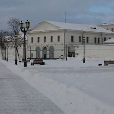
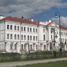
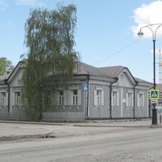
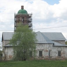
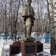
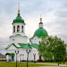
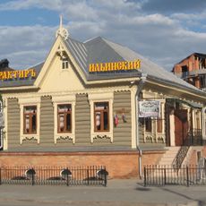
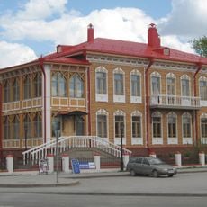
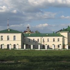
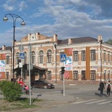
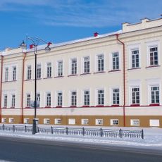
Uvatsky District is an administrative area in northern Tyumen Oblast, with Uvat functioning as its main administrative center. The region spans a vast territory containing multiple rural settlements and inhabited localities spread across diverse landscapes.

The district was established in 1923 during Soviet administrative reforms as a territorial division to improve regional governance. This creation reflected broader efforts to organize northern territories more effectively.

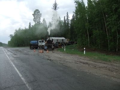
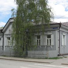
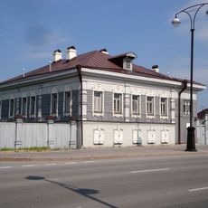
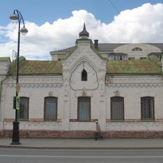
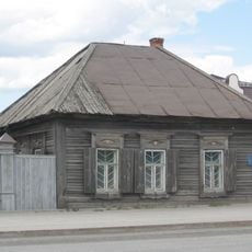
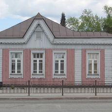
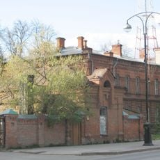
The settlements across this district reflect a rural way of living shaped by the region's remote northern location and climate demands.

The district operates on UTC+5 time zone and official administrative matters can be handled through the district's website. Visitors should be prepared for distances between settlements when traveling through the area.

The territory has a remarkably sparse population relative to its land area, making it one of the most sparsely settled districts in the region. This offers visitors insight into the reality of thinly populated Siberian landscapes.

The community of curious travelers

AroundUs brings together thousands of curated places, local tips, and hidden gems, enriched daily by 60,000 contributors worldwide.

Start exploring
Location
Inception
1923
Capital city
Uvat
GPS coordinates
59.14310,68.88560
Latest update
December 8, 2025 13:43
Around this place
Prison building
Russian Federation

Prison building

111.1 km
Tobolsk Pedagogical Institute of Tyumen University
Russian Federation

Tobolsk Pedagogical Institute of Tyumen University

109.1 km
Zavalnoye cemetery
Russian Federation

Zavalnoye cemetery

109.4 km
Russian Federation

Памятник Д. И. Менделееву

107.9 km
Tobolsk Drama Theatre "P. P. Yershov"
Russian Federation

Tobolsk Drama Theatre "P. P. Yershov"

108.7 km
Russian Federation

Dostoevskiy Haykali (Tobolsk)

110.7 km
Seven Sleepers Church
Russian Federation

Seven Sleepers Church

109.4 km
Tobol
Russian Federation

Tobol

110 km
Oktyabrskaya, 5
Russian Federation

Oktyabrskaya, 5

110.9 km
Church of the Holy Mandylion
Russian Federation

Church of the Holy Mandylion

110.8 km
Dunin Gorkavichga yodgorlik
Russian Federation

Dunin Gorkavichga yodgorlik

109.4 km
Могила Петра Павловича Ершова (1792-1869) (Тобольск)
Russian Federation

Могила Петра Павловича Ершова (1792-1869) (Тобольск)

109.4 km
Saints Peter and Paul Church, Tobolsk
Russian Federation

Saints Peter and Paul Church, Tobolsk

110.7 km
Дом жилой (Тобольск)
Russian Federation

Дом жилой (Тобольск)

110.9 km
Oktyabrskaya,_9_(Tobolsk)
Russian Federation

Oktyabrskaya,_9_(Tobolsk)

110.8 km
Магазин Марейна (Тобольск)
Russian Federation

Магазин Марейна (Тобольск)

110.7 km
Арестантский корпус № 3 с карцерами (Тобольск)
Russian Federation

Арестантский корпус № 3 с карцерами (Тобольск)

111.1 km
Дом жилой (Тобольск)
Russian Federation

Дом жилой (Тобольск)

110.8 km
Дом жилой (Тобольск)
Russian Federation

Дом жилой (Тобольск)

110.6 km
Gubernatorial_Museum
Russian Federation

Gubernatorial_Museum

111.1 km
Дом жилой (Тобольск)
Russian Federation

Дом жилой (Тобольск)

111 km
Здание госпиталя (Тобольск)
Russian Federation

Здание госпиталя (Тобольск)

110.4 km
Епархиальное женское училище (Тобольск)
Russian Federation

Епархиальное женское училище (Тобольск)

110.7 km
Здание женского фельдшерско-акушерского училища (Тобольск)
Russian Federation

Здание женского фельдшерско-акушерского училища (Тобольск)

110.5 km
Могила Кюхельбекера Вильгельма Карловича, декабриста (1797-1846) (Тобольск)
Russian Federation

Могила Кюхельбекера Вильгельма Карловича, декабриста (1797-1846) (Тобольск)

109.5 km
Флигель (Тобольск)
Russian Federation

Флигель (Тобольск)

110.9 km
Духовное училище
Russian Federation

Духовное училище

111 km
Завод виноделательный (Тобольск)
Russian Federation

Завод виноделательный (Тобольск)

110 km
Show the full map
Reviews
Share your experience

No review yet

Discussions
Start a discussion...

No discussion yet

« Uvatsky District - Administrative district in Tyumen Oblast, Russia » is provided by Around Us (aroundus.com). Images and texts are derived from Wikimedia project under a Creative Commons license. You are allowed to copy, distribute, and modify copies of this page, under the conditions set by the license, as long as this note is clearly visible.

Discover hidden gems everywhere you go!

From secret cafés to breathtaking viewpoints, skip the crowded tourist spots and find places that match your style. Our app makes it easy with voice search, smart filtering, route optimization, and insider tips from travelers worldwide. Download now for the complete mobile experience.

Around Us App Screenshot

A unique approach to discovering new places

Le Figaro

All the places worth exploring

France Info

A tailor-made excursion in just a few clicks

20 Minutes

Around Us
Travel Guide & Maps
Download

Send to your phone

QR Code
1

Open the camera app on your mobile.

2

Point at the QR code with your camera. A notification will appear.

3

Tap the notification to open the link.