Enable Location

We need your location to show you interesting places around you

Discover nearby places

Find interesting locations and hidden gems around you

Precise directions

Get accurate directions and distances to places

Your location is never shared with other users. It's only used when you tap the location button.

Brateyevo District

Log in to your account

Start exploring — it's free

Trusted by 62,376 travelers worldwide

Continue with Google
Continue with Apple
or

We will send you a code to connect

By continuing, you accept our Terms and Conditions and our Privacy Policy

Check your inbox

We've sent a pincode in your inbox. Please enter the code below.

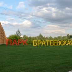
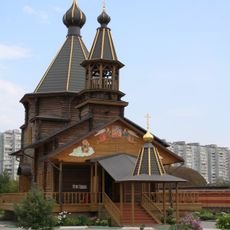
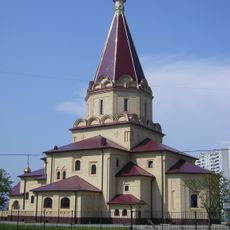
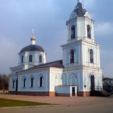
Brateyevo District, Administrative district in Southern Moscow, Russia.

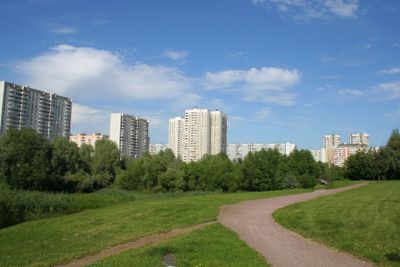
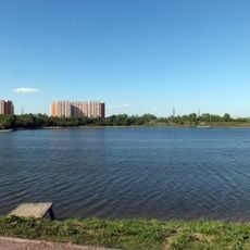
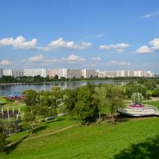
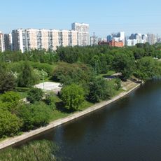
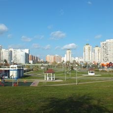
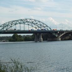
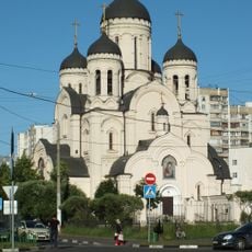
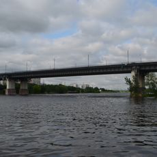
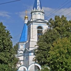
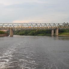
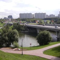
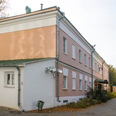
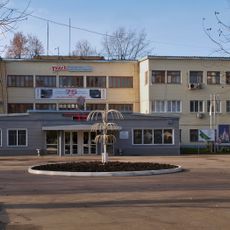
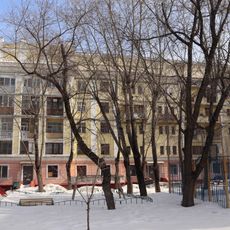
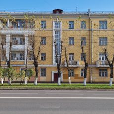
Brateyevo District lies on the right bank of the Moskva River in southeastern Moscow and covers approximately 7.6 square kilometers. The entire area is fully urbanized with residential buildings, streets, and city infrastructure.

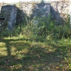
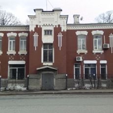
The district contains ancient pagan burial mounds indicating early human settlements before the area transformed from a village into an urban district around 1960. This shift marked the transition from rural to modern urbanized territory.

The district takes its name from Semyon Godunov, brother of Tsar Boris Godunov, who owned these lands in the 16th century. This historical connection shapes how residents understand their neighborhood's past.

The district is served by two metro stations: Borisovo and Alma-Atinskaya, which opened in 2011 and 2012 respectively. These connections make it simple to reach other parts of Moscow.

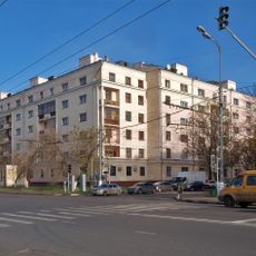
The district sits at an elevation of approximately 117 meters above sea level and is densely populated with modern residential complexes. This high position creates a gentle rise from the river valley that shapes the area's landscape.

The community of curious travelers

AroundUs brings together thousands of curated places, local tips, and hidden gems, enriched daily by 60,000 contributors worldwide.

Start exploring
Location
Elevation above the sea
117 m
GPS coordinates
55.63389,37.76361
Latest update
December 7, 2025 10:08
Around this place
Borisovo Ponds
Russian Federation

Borisovo Ponds

3.2 km
Brateevsky Cascade Park
Russian Federation

Brateevsky Cascade Park

1.9 km
Orekhovo-Borisovo Metochion
Russian Federation

Orekhovo-Borisovo Metochion

3.3 km
Park of 850 years of Moscow
Russian Federation

Park of 850 years of Moscow

1.3 km
Park named after Artyom Borovik
Russian Federation

Park named after Artyom Borovik

3.1 km
Brateyevo Floodplain Park
Russian Federation

Brateyevo Floodplain Park

1.1 km
Dyusseldorfsky park
Russian Federation

Dyusseldorfsky park

3.1 km
Saburovo Road Bridge
Russian Federation

Saburovo Road Bridge

4.6 km
Besedinsky Bridges
Russian Federation

Besedinsky Bridges

2.2 km
Church of the Theotokos Soothe My Sorrows in Maryino
Russian Federation

Church of the Theotokos Soothe My Sorrows in Maryino

1.9 km
Brateyevsky Bridge
Russian Federation

Brateyevsky Bridge

1.2 km
Russian Federation

Ломаковский музей старинных автомобилей и мотоциклов

4.6 km
Nativity Church, Besedy
Russian Federation

Nativity Church, Besedy

2.8 km
Храм-часовня иконы Божией Матери «Троеручица» в Орехове-Борисове
Russian Federation

Храм-часовня иконы Божией Матери «Троеручица» в Орехове-Борисове

4.1 km
Church of the Beheading of Saint John the Baptist in Brateyevo
Russian Federation

Church of the Beheading of Saint John the Baptist in Brateyevo

276 m
Church of the Nativity of the Theotokos in Kapotnya
Russian Federation

Church of the Nativity of the Theotokos in Kapotnya

1.9 km
Saburovsky Rail Bridges
Russian Federation

Saburovsky Rail Bridges

4.6 km
Pressburger Park
Russian Federation

Pressburger Park

2.3 km
Church of the Holy Trinity in Borisovo
Russian Federation

Church of the Holy Trinity in Borisovo

2.2 km
Church of Saint Nicholas in Saburovo
Russian Federation

Church of Saint Nicholas in Saburovo

4 km
Borisovsky Bridges
Russian Federation

Borisovsky Bridges

3.7 km
Классический (училищный) корпус (Жилой корпус восточный) (Печатники)
Russian Federation

Классический (училищный) корпус (Жилой корпус восточный) (Печатники)

4.8 km
Люблинская улица 72
Russian Federation

Люблинская улица 72

4.2 km
Люблинская улица 127/1
Russian Federation

Люблинская улица 127/1

4.6 km
Плотина Борисовского пруда
Russian Federation

Плотина Борисовского пруда

2.2 km
Люблинская улица 125
Russian Federation

Люблинская улица 125

4.6 km
Улица Нижние Поля 15 c1
Russian Federation

Улица Нижние Поля 15 c1

3.4 km
Люблинская улица 129
Russian Federation

Люблинская улица 129

4.5 km
Show the full map
« Brateyevo District - Administrative district in Southern Moscow, Russia » is provided by Around Us (aroundus.com). Images and texts are derived from Wikimedia project under a Creative Commons license. You are allowed to copy, distribute, and modify copies of this page, under the conditions set by the license, as long as this note is clearly visible.

Discover hidden gems everywhere you go!

From secret cafés to breathtaking viewpoints, skip the crowded tourist spots and find places that match your style. Our app makes it easy with voice search, smart filtering, route optimization, and insider tips from travelers worldwide. Download now for the complete mobile experience.

Around Us App Screenshot

A unique approach to discovering new places

Le Figaro

All the places worth exploring

France Info

A tailor-made excursion in just a few clicks

20 Minutes

Around Us
Travel Guide & Maps
Download

Send to your phone

QR Code
1

Open the camera app on your mobile.

2

Point at the QR code with your camera. A notification will appear.

3

Tap the notification to open the link.