Enable Location

We need your location to show you interesting places around you

Discover nearby places

Find interesting locations and hidden gems around you

Precise directions

Get accurate directions and distances to places

Your location is never shared with other users. It's only used when you tap the location button.

Kapotnya District

Log in to your account

Start exploring — it's free

Trusted by 62,375 travelers worldwide

Continue with Google
Continue with Apple
or

We will send you a code to connect

By continuing, you accept our Terms and Conditions and our Privacy Policy

Check your inbox

We've sent a pincode in your inbox. Please enter the code below.

Kapotnya District

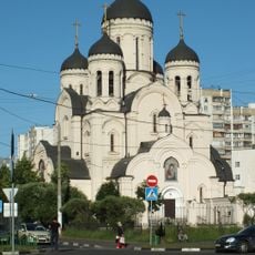
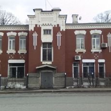
Kapotnya District, Administrative district in South-Eastern Moscow, Russia

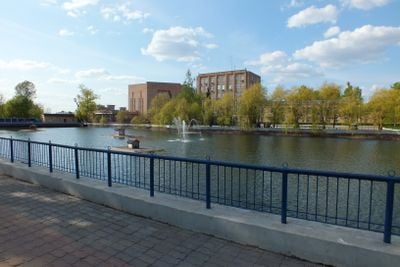
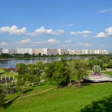
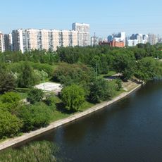
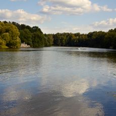
Kapotnya is an administrative district in southeastern Moscow that combines residential complexes, industrial facilities, and public spaces. The area covers approximately 8 square kilometers and includes the Moscow Oil Refinery alongside neighborhoods for living.

The area grew from two villages: Chagino, where the oil refinery now stands, and Ryazantsevo, before becoming part of Moscow in 1960. This merger marked the shift from rural settlements to an urban industrial zone.

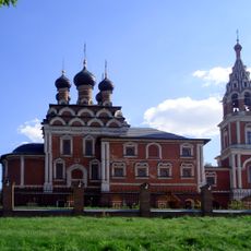
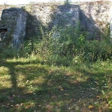
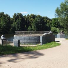
The Monument to Soldiers-Oilmen honors veterans from World War II and shows how the district connects to military and industrial heritage. Visitors can see this history reflected in the neighborhood's character.

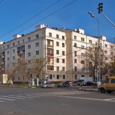
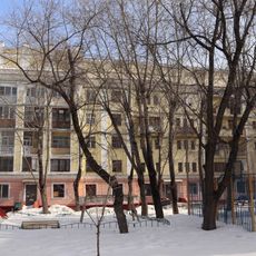
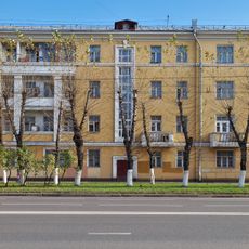
The district features residential areas that are well connected by public transportation and offer various daily services. Visitors should be aware that industrial operations are active and emissions may be noticeable at certain times.

The area is known for having noticeably lower rental and property prices compared to other Moscow districts. This price difference is directly linked to its proximity to active industrial facilities and their environmental effects.

The community of curious travelers

AroundUs brings together thousands of curated places, local tips, and hidden gems, enriched daily by 60,000 contributors worldwide.

Start exploring
Location
GPS coordinates
55.64417,37.80056
Latest update
December 18, 2025 20:12
Around this place
Ugresha Monastery
Russian Federation

Ugresha Monastery

3.5 km
Sadovod
Russian Federation

Sadovod

2.2 km
Brateevsky Cascade Park
Russian Federation

Brateevsky Cascade Park

4.2 km
Park of 850 years of Moscow
Russian Federation

Park of 850 years of Moscow

3.2 km
Park named after Artyom Borovik
Russian Federation

Park named after Artyom Borovik

3.4 km
Brateyevo Floodplain Park
Russian Federation

Brateyevo Floodplain Park

1.5 km
Dyusseldorfsky park
Russian Federation

Dyusseldorfsky park

2.7 km
Besedinsky Bridges
Russian Federation

Besedinsky Bridges

2.4 km
Church of the Theotokos Soothe My Sorrows in Maryino
Russian Federation

Church of the Theotokos Soothe My Sorrows in Maryino

3.4 km
Brateyevsky Bridge
Russian Federation

Brateyevsky Bridge

3.3 km
Russian Federation

Ломаковский музей старинных автомобилей и мотоциклов

3.9 km
Nativity Church, Besedy
Russian Federation

Nativity Church, Besedy

3.4 km
Church of the Theotokos of Kazan
Russian Federation

Church of the Theotokos of Kazan

4.9 km
Church of the Beheading of Saint John the Baptist in Brateyevo
Russian Federation

Church of the Beheading of Saint John the Baptist in Brateyevo

2.6 km
Church of the Nativity of the Theotokos in Kapotnya
Russian Federation

Church of the Nativity of the Theotokos in Kapotnya

772 m
Pressburger Park
Russian Federation

Pressburger Park

3.2 km
Church of the Holy Trinity in Borisovo
Russian Federation

Church of the Holy Trinity in Borisovo

4.8 km
Verhnij Kuzminskij Pond
Russian Federation

Verhnij Kuzminskij Pond

4.8 km
Люблинская улица 127/1
Russian Federation

Люблинская улица 127/1

5 km
Люблинская улица 72
Russian Federation

Люблинская улица 72

4.8 km
Плотина Борисовского пруда
Russian Federation

Плотина Борисовского пруда

4.7 km
Люблинская улица 125
Russian Federation

Люблинская улица 125

5 km
Temple of martyr Victor of Damascus (Kotelniki)
Russian Federation

Temple of martyr Victor of Damascus (Kotelniki)

3.5 km
Улица Старые Кузьминки 9
Russian Federation

Улица Старые Кузьминки 9

4.9 km
Круглая пристань («Львиная») (Кузьминки)
Russian Federation

Круглая пристань («Львиная») (Кузьминки)

4.9 km
Улица Нижние Поля 15 c1
Russian Federation

Улица Нижние Поля 15 c1

4.3 km
Пристань «у Пропилей» (Кузьминки)
Russian Federation

Пристань «у Пропилей» (Кузьминки)

4.8 km
Люблинская улица 129
Russian Federation

Люблинская улица 129

4.9 km
Show the full map
« Kapotnya District - Administrative district in South-Eastern Moscow, Russia » is provided by Around Us (aroundus.com). Images and texts are derived from Wikimedia project under a Creative Commons license. You are allowed to copy, distribute, and modify copies of this page, under the conditions set by the license, as long as this note is clearly visible.

Discover hidden gems everywhere you go!

From secret cafés to breathtaking viewpoints, skip the crowded tourist spots and find places that match your style. Our app makes it easy with voice search, smart filtering, route optimization, and insider tips from travelers worldwide. Download now for the complete mobile experience.

Around Us App Screenshot

A unique approach to discovering new places

Le Figaro

All the places worth exploring

France Info

A tailor-made excursion in just a few clicks

20 Minutes

Around Us
Travel Guide & Maps
Download

Send to your phone

QR Code
1

Open the camera app on your mobile.

2

Point at the QR code with your camera. A notification will appear.

3

Tap the notification to open the link.