
Komsomolets, human settlement in Kirovsky District, Stavropol Krai, Russia
Location: Комсомольский сельсовет
GPS coordinates: 44.01639,43.56194
Latest update: March 4, 2025 06:42
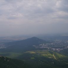
Mashuk
38 km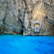
Lake Proval
37.2 km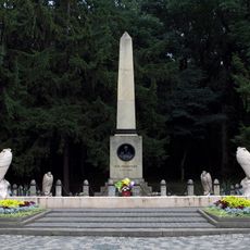
The place of Lermontov's duel
39.1 km
Lake Tambukan
32.7 km
Monument to Mikhail Lermontov
38.9 km
Lermontov museum-reserve
38.8 km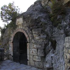
Lermontov Grotto
38.1 km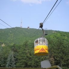
Pyatigorsk Cableway
38.3 km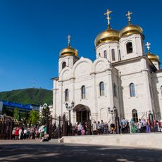
Храм Христа Спасителя
38.8 km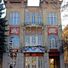
Operetta Theatre of Stavropol Krai
38.3 km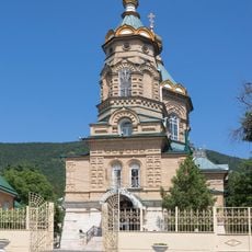
Church of Saint Lazarus of the Four Days, Pyatigorsk
39.1 km
Qora lola Pyatigorsk
39.2 km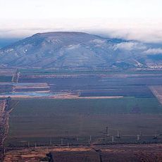
Lysaya
29.4 km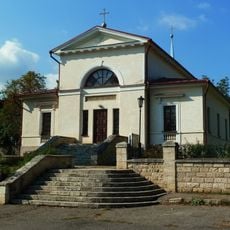
Transfiguration Church, Pyatigorsk
38.9 km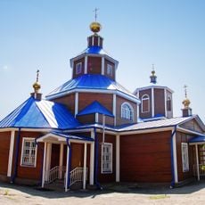
Saint Nicholas Church, Georgievsk
15.6 km
Пятигорский краеведческий музей
38.7 km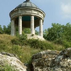
Церковь Успения Пресвятой Богородицы (Пятигорск)
36.9 km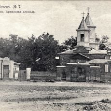
Surb Poghos-Petros Armenian church in Georgievsk
20.1 km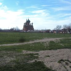
Церковь Архангела Михаила (Незлобная, Георгиевский район)
18 km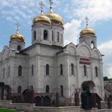
Orthodox cathedral in Pyatigorsk
38.8 km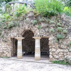
Diana Grotto, Pyatigorsk
38.5 km
Saint Olga Shelter historic hospital
39.2 km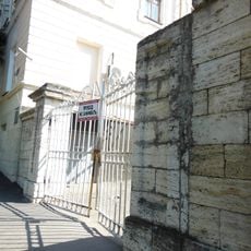
Gate of officers' department of infirmary
38.4 km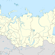
Zol'skiy Kar'yer
3.9 km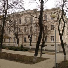
House for poor officers
38.4 km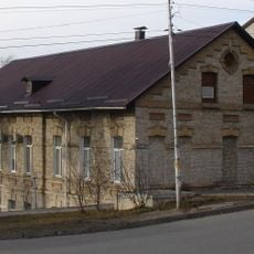
Building of stable of Pyatigorsk Red Cross Colony
39.6 km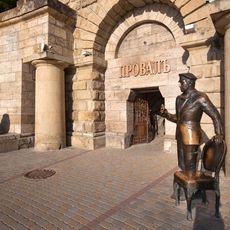
Ostap Bender statue in Pyatigorsk
37.2 km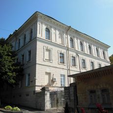
Officers' department of infirmary
38.4 kmReviews
Visited this place? Tap the stars to rate it and share your experience / photos with the community! Try now! You can cancel it anytime.
Discover hidden gems everywhere you go!
From secret cafés to breathtaking viewpoints, skip the crowded tourist spots and find places that match your style. Our app makes it easy with voice search, smart filtering, route optimization, and insider tips from travelers worldwide. Download now for the complete mobile experience.

A unique approach to discovering new places❞
— Le Figaro
All the places worth exploring❞
— France Info
A tailor-made excursion in just a few clicks❞
— 20 Minutes