Chest opened
+${chestReward.xp} XP
Explorer
NOUVEAU ×${chestReward.collectible.quantity}
tapez pour fermer
Chest locked

Open chests in the app

Around Us is built for your phone — chests unlock when you walk, explore and capture nearby places.

Enable Location

We need your location to show you interesting places around you

Discover nearby places

Find interesting locations and hidden gems around you

Precise directions

Get accurate directions and distances to places

Your location is never shared with other users. It's only used when you tap the location button.

Log in to your account

Start exploring — it's free

Trusted by 73,043 travelers worldwide

Continue with Google
Continue with Apple
or

We will send you a code to connect

By continuing, you accept our Terms and Conditions and our Privacy Policy

Check your inbox

We've sent a pincode in your inbox. Please enter the code below.

Discussion Reviews Photo
1.4k Popularity

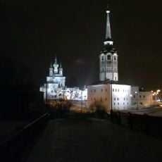
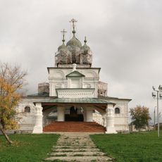
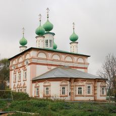
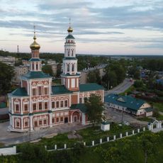
Кыласово городище, Archaeological settlement at Kylasovo, Perm Krai, Russia.

Kylasovo is a former fortified settlement situated on a high cape 7 to 8 meters above a stream tributary, covering roughly 2.7 hectares. The site featured a 3.5-meter rampart reinforced with a wooden stockade and protective ditch, located about 800 meters southeast of Kylasovo village.

The settlement existed from the 9th to the 15th century and served as a defensive position for the region. It was an important location for the Rodanovo culture during a period of trade and territorial influence.

The excavation reveals how people from the Rodanovo culture lived, with remains of homes and workshops scattered across the site. Visitors can observe the objects they used daily, from tools and household items to jewelry and weapons.

The site is accessible on foot from Kylasovo village and open to visitors as a protected federal heritage area. The best time to visit is during drier months when the ground is more easily walkable.

Excavations uncovered Arabic and Central Asian coins, revealing that this remote location participated in trade networks spanning vast distances. These unexpected discoveries show connections that extended far beyond the local region.

The community of curious travelers

AroundUs brings together thousands of curated places, local tips, and hidden gems, enriched daily by 60,000 contributors worldwide.

Start exploring
Location
Inception
9 century
GPS coordinates
58.88222,56.12194
Latest update
December 9, 2025 20:23
Around this place
Kama dam
Russian Federation

Kama dam

86.3 km
Kama Reservoir
Russian Federation

Kama Reservoir

84.4 km
Khokhlovka
Russian Federation

Khokhlovka

69.5 km
НПО «Искра»
Russian Federation

НПО «Искра»

87.2 km
Chusovskoy Bridge
Russian Federation

Chusovskoy Bridge

82.2 km
Bell Tower, Solikamsk
Russian Federation

Bell Tower, Solikamsk

93.2 km
Holy Trinity Church
Russian Federation

Holy Trinity Church

93.1 km
Кудымкарское городище
Russian Federation

Кудымкарское городище

85.8 km
Transfiguration Church, Solikamsk
Russian Federation

Transfiguration Church, Solikamsk

92.7 km
Church of the Nativity of John the Baptist, Solikamsk
Russian Federation

Church of the Nativity of John the Baptist, Solikamsk

91.2 km
Russian Federation

Соликамский кремль

92.7 km
Собор Рождества Богородицы
Russian Federation

Собор Рождества Богородицы

11.9 km
Saint Michael Church, Solikamsk
Russian Federation

Saint Michael Church, Solikamsk

92.7 km
Church of the Resurrection of Jesus Christ in Solikamsk
Russian Federation

Church of the Resurrection of Jesus Christ in Solikamsk

93.1 km
Храм Рождества Пресвятой Богородицы
Russian Federation

Храм Рождества Пресвятой Богородицы

50.1 km
Добрянский историко-краеведческий музей
Russian Federation

Добрянский историко-краеведческий музей

50.1 km
Category:Saint Nicholas Orthodox church in Kudymkar
Russian Federation

Category:Saint Nicholas Orthodox church in Kudymkar

85.5 km
Church of the Beheading of Saint John the Baptist in Berezniki
Russian Federation

Church of the Beheading of Saint John the Baptist in Berezniki

67.7 km
Kuzminka (Teploukhov's garden)
Russian Federation

Kuzminka (Teploukhov's garden)

43.4 km
Троицкий храм
Russian Federation

Троицкий храм

22.9 km
Сюзьва (разъезд)
Russian Federation

Сюзьва (разъезд)

89.3 km
1406-й км
Russian Federation

1406-й км

87.2 km
1402-й км
Russian Federation

1402-й км

86.1 km
1401-й км
Russian Federation

1401-й км

85.8 km
1403-й км
Russian Federation

1403-й км

86 km
Dvorets Kultury imeni Chekhova
Russian Federation

Dvorets Kultury imeni Chekhova

87.1 km
Port Baranyata
Russian Federation

Port Baranyata

42.6 km
Chusovskoy Railway Bridge
Russian Federation

Chusovskoy Railway Bridge

82.2 km
Show the full map
Reviews
Share your experience

No review yet

Discussions
Start a discussion...

No discussion yet

« Кыласово городище - Archaeological settlement at Kylasovo, Perm Krai, Russia » is provided by Around Us (aroundus.com). Images and texts are derived from Wikimedia project under a Creative Commons license. You are allowed to copy, distribute, and modify copies of this page, under the conditions set by the license, as long as this note is clearly visible.

Discover hidden gems everywhere you go!

From secret cafés to breathtaking viewpoints, skip the crowded tourist spots and find places that match your style. Our app makes it easy with voice search, smart filtering, route optimization, and insider tips from travelers worldwide. Download now for the complete mobile experience.

Around Us App Screenshot

A unique approach to discovering new places

Le Figaro

All the places worth exploring

France Info

A tailor-made excursion in just a few clicks

20 Minutes

Around Us
Travel Guide & Maps
Download

Send to your phone

QR Code
1

Open the camera app on your mobile.

2

Point at the QR code with your camera. A notification will appear.

3

Tap the notification to open the link.