
Michúrinski, human settlement in Uspensky District, Krasnodar Krai, Russia
Location: Успенське сільське поселення
Elevation above the sea: 287 m
GPS coordinates: 44.78021,41.48475
Latest update: March 25, 2025 22:14
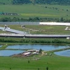
RATAN-600
106.5 km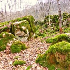
Strizhament
39.7 km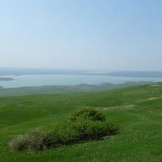
Sengiley reservour
35.1 km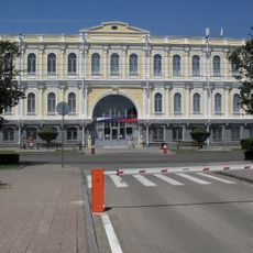
Stavropol Local Museum
48.2 km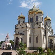
Cathedral of the Kazan Icon of the Mother of God
49.2 km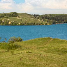
Novotroitskoe Reservoir
57.2 km
Kubansk Reservoir
87.9 km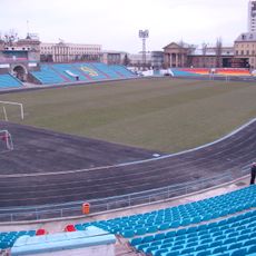
Dynamo Stadium
48.1 km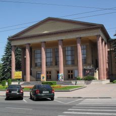
Stavropol Drama Theatre
47.9 km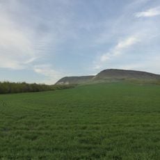
Bryk
92.7 km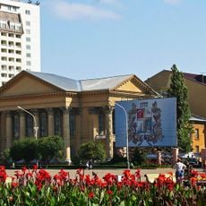
Stavropol Library
48.2 km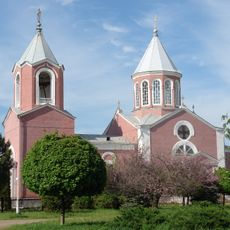
Armenian Church, Armavir, Russia
37.2 km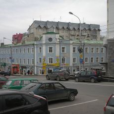
Lycée classique de Stavropol
49.1 km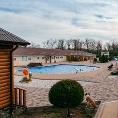
Термальные источники Хуторок
71.3 km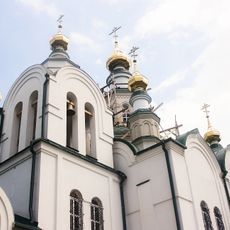
Saint Nicholas Orthodox cathedral in Armavir
37.4 km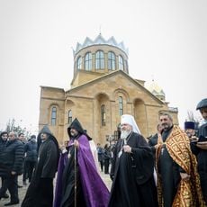
Saint Gregory the Illuminator Church
50.3 km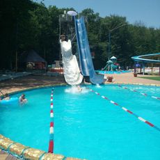
Аквапарк
44.2 km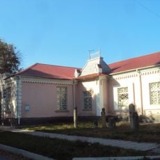
Дом Алиева (Черкесск)
75.6 km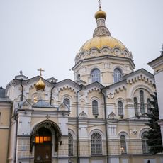
Saint Andrew Orthodox church in Stavropol
47.7 km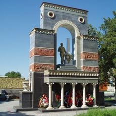
Monument to Soviet soldiers in Cherkessk
76.1 km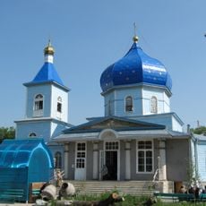
Храм Покрова Пресвятой Богородицы (православный) (Черкесск)
77.4 km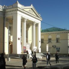
Theater of the Mesnyankin Brothers
49.5 km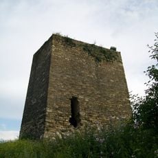
Adiyukh tower
88.4 km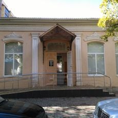
Samoilenko Hotel
76.2 km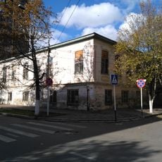
Provincial government offices, Cherkessk
76.2 km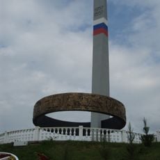
Friendship of Peoples Monument in Cherkessk
75.7 km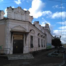
Банк коммерческий (Черкесск)
76.2 km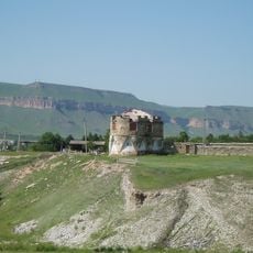
Красногорская сторожевая крепость (Красногорская)
99.3 kmReviews
Visited this place? Tap the stars to rate it and share your experience / photos with the community! Try now! You can cancel it anytime.
Discover hidden gems everywhere you go!
From secret cafés to breathtaking viewpoints, skip the crowded tourist spots and find places that match your style. Our app makes it easy with voice search, smart filtering, route optimization, and insider tips from travelers worldwide. Download now for the complete mobile experience.

A unique approach to discovering new places❞
— Le Figaro
All the places worth exploring❞
— France Info
A tailor-made excursion in just a few clicks❞
— 20 Minutes