Chest opened
+${chestReward.xp} XP
Explorer
NOUVEAU ×${chestReward.collectible.quantity}
tapez pour fermer

See the monuments around you in AR Open chests in the app

Around Us is built for your phone — point your camera at the streets and discover the monuments and places around you in augmented reality. Around Us is built for your phone — chests unlock when you walk, explore and capture nearby places.

•

Enable Location

We need your location to show you interesting places around you

Discover nearby places

Find interesting locations and hidden gems around you

Precise directions

Get accurate directions and distances to places

Your location is never shared with other users. It's only used when you tap the location button.

Kharaty

Log in to your account

Start exploring — it's free

Trusted by 94,657 travelers worldwide

Continue with Google
Continue with Apple
or

We will send you a code to connect

By continuing, you accept our Terms and Conditions and our Privacy Policy

Check your inbox

We've sent a pincode in your inbox. Please enter the code below.

Kharaty, Protected mountain area near Lake Baikal, Buryatia, Russia

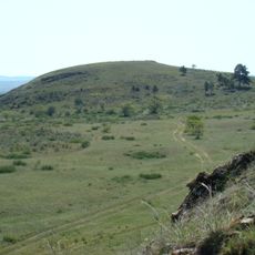
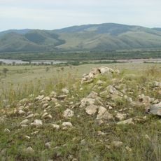
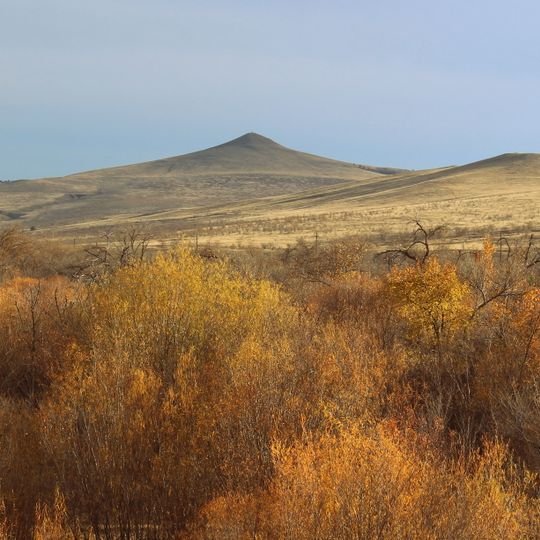
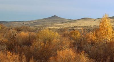
Kharaty is a 922-metre botanical nature monument on the left bank of the Selenga, 3 km west of Zarubino in Buryatia's Dzhidinsky District. Its slopes are gentle except for the steep, rocky western side, and the protected area covers 1.5 km². A geodesic marker stands on the summit, where an obo rises.

Kharaty is a former volcano; volcanic-origin fossils can still be found in its surroundings. The mountain is a botanical natural monument of Buryatia protecting a relict mountain grass-shrub grove, a model site for studying and monitoring that ecosystem. The Buryat legend of Genghis Khan's brother Kharbach, recorded by Ya. S. Smolev in 1900, explains the toponym: from the summit the whole Selenga valley is visible from Ust-Kyakhta to its confluence with the Dzhida.

Kharaty is a sacred site for local Buryats, who believe that spirits protecting the area live here. At the summit stands an obo, a stone cairn used in offerings. The name comes from a Buryat legend about Genghis Khan's brother Kharbach, who climbed the hill to look around; "look" in Buryat is "kharakha", from which Kharaty derives.

Kharaty lies 3 km west of Zarubino in the Dzhidinsky district, on the left bank of the Selenga; the summit, 922 m, carries a geodesic marker. Slopes are gentle except the rocky, steep western face, so the western approach is the hardest. The protected area covers 1.5 km² and serves as a model site for school field practice, so groups should keep to the tract and leave the rare plants untouched.

Kharaty is a former volcano, and fossils of volcanic origin can still be found in its surroundings. The name comes from the Buryat word "kharakha" (to look): from the summit the whole Selenga valley is visible, from Ust-Kyakhta to its confluence with the Jida. A geodesic marker stands on top.

The community of curious travelers

AroundUs brings together thousands of curated places, local tips, and hidden gems, enriched daily by 94,657 contributors worldwide.
Start exploring
Location
GPS coordinates
50.56903,106.15178
Latest update
October 29, 2026 03:15
Around this place
Tamchinsky datsan
Russian Federation

Tamchinsky datsan

38.5 mi
Kyakhta Local Museum
Russian Federation

Kyakhta Local Museum

19.7 mi
Resurrection Church
Russian Federation

Resurrection Church

22.3 mi
Sartul-Gegetuysky datsan
Russian Federation

Sartul-Gegetuysky datsan

41.2 mi
Orgoyton
Russian Federation

Orgoyton

3.9 mi
Trinity Cathedral
Russian Federation

Trinity Cathedral

19.8 mi
Baga-Zarya
Russian Federation

Baga-Zarya

2.5 mi
Bayan-Under
Russian Federation

Bayan-Under

11.1 mi
Atagan-Dyrestuysky datsan
Russian Federation

Atagan-Dyrestuysky datsan

7.1 mi
Church of the Ascension
Russian Federation

Church of the Ascension

41.8 mi
Temnikovskaya Cave
Russian Federation

Temnikovskaya Cave

32.7 mi
Дирестуйський Култук
Russian Federation

Дирестуйський Култук

11.1 mi
Church of the Dormition of the Theotokos
Russian Federation

Church of the Dormition of the Theotokos

20.3 mi
Tabangut-Ichotuysky datsan
Russian Federation

Tabangut-Ichotuysky datsan

31.2 mi
Богородице-Тихвинская церковь (Усть-Кяхта)
Russian Federation

Богородице-Тихвинская церковь (Усть-Кяхта)

6.4 mi
Дом Старцева Д.Д., построенный по проекту декабриста Бестужева Н.А. (Новоселенгинск)
Russian Federation

Дом Старцева Д.Д., построенный по проекту декабриста Бестужева Н.А. (Новоселенгинск)

41.9 mi
Дом, в котором у А.М. Лушникова останавливались для организации экспедиций в Центральную Азию путешественники Н.М. Пржевальский, П.К. Козлов, супруги Потанины, В.А. Обручев и другие исследователи
Russian Federation

Дом, в котором у А.М. Лушникова останавливались для организации экспедиций в Центральную Азию путешественники Н.М. Пржевальский, П.К. Козлов, супруги Потанины, В.А. Обручев и другие исследователи

22 mi
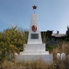
Памятник вождю монгольского народа Сухэ-Батору, сооруженный жителями Кяхты (Кяхта)
Russian Federation

Памятник вождю монгольского народа Сухэ-Батору, сооруженный жителями Кяхты (Кяхта)

20.1 mi
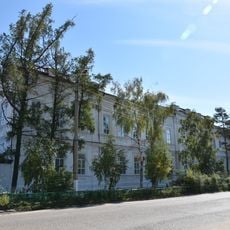
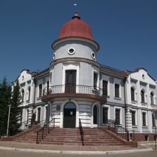
Здание реального училища (Кяхта)
Russian Federation

Здание реального училища (Кяхта)

19.7 mi
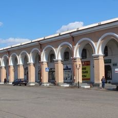
Trade rows
Russian Federation

Trade rows

19.8 mi
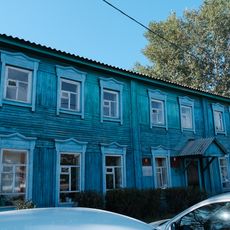
Здание почтовой конторы, служащие которой принимали активное участие в революционных выступлениях населения Троицкосавска в 1905-06 гг. (Кяхта)
Russian Federation

Здание почтовой конторы, служащие которой принимали активное участие в революционных выступлениях населения Троицкосавска в 1905-06 гг. (Кяхта)

19.7 mi
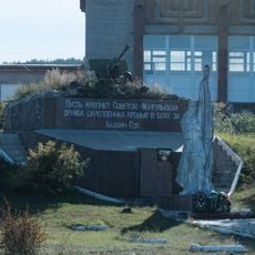
Памятник героям боев на Халхин-Голе, посвященный советско-монгольскому братству по оружию (Кяхта)
Russian Federation

Памятник героям боев на Халхин-Голе, посвященный советско-монгольскому братству по оружию (Кяхта)

20.6 mi
Здание бывшего Русско-Азиатского банка (Кяхта)
Russian Federation

Здание бывшего Русско-Азиатского банка (Кяхта)

20 mi
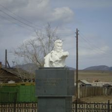
Бюст Н.А. Бестужева (Новоселенгинск)
Russian Federation

Бюст Н.А. Бестужева (Новоселенгинск)

41.9 mi
Могила А.В. Потаниной (1842-1894), русской путешественницы, известной исследовательницы Центральной Азии (Кяхта)
Russian Federation

Могила А.В. Потаниной (1842-1894), русской путешественницы, известной исследовательницы Центральной Азии (Кяхта)

20.5 mi
Дом Цыренова, где в 1920-1921 гг. под руководством Сухэ-Батора и Чойбалсана проходили нелегальные совещания монгольских революционеров (Кяхта)
Russian Federation

Дом Цыренова, где в 1920-1921 гг. под руководством Сухэ-Батора и Чойбалсана проходили нелегальные совещания монгольских революционеров (Кяхта)

20.1 mi
Гостиный двор (таможня) (Кяхта)
Russian Federation

Гостиный двор (таможня) (Кяхта)

22.3 mi
Здание городской управы (Новоселенгинск)
Russian Federation

Здание городской управы (Новоселенгинск)

41.9 mi
Show the full map
Reviews
Share your experience

No review yet

Discussions
Start a discussion...

No discussion yet

« Kharaty - Protected mountain area near Lake Baikal, Buryatia, Russia » is provided by Around Us (aroundus.com). Images and texts are derived from Wikimedia project under a Creative Commons license. You are allowed to copy, distribute, and modify copies of this page, under the conditions set by the license, as long as this note is clearly visible.

Discover hidden gems everywhere you go!

From secret cafés to breathtaking viewpoints, skip the crowded tourist spots and find places that match your style. Our app makes it easy with voice search, smart filtering, route optimization, and insider tips from travelers worldwide. Download now for the complete mobile experience.
Around Us App Screenshot
❝

A unique approach to discovering new places❞

— Le Figaro

❝

All the places worth exploring❞

— France Info

❝

A tailor-made excursion in just a few clicks❞

— 20 Minutes

Around Us
Travel Guide & Maps
Download

Send to your phone

QR Code
1

Open the camera app on your mobile.

2

Point at the QR code with your camera. A notification will appear.

3

Tap the notification to open the link.