
莫克拉亚奥尔洛夫卡农村居民点, human settlement in Grayvoronsky District, Kursk Oblast, Russia
Location: Grayvoronsky District
Capital city: Mokraya Orlovka
GPS coordinates: 50.51583,35.50972
Latest update: March 20, 2025 13:47
Okhtyrka Raion
34.1 km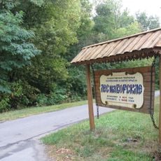
Les na Vorskle
34.1 km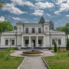
Galitzine Estate in Trostianets
39.4 km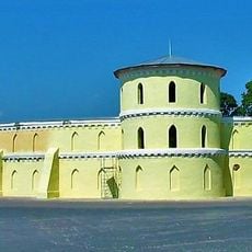
Round Riding School
39.4 km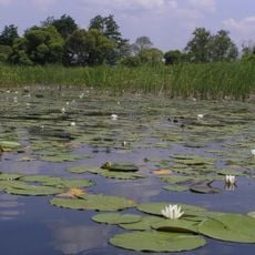
Hetman National Nature Park
37.1 km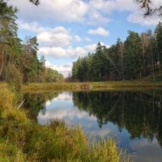
Trostianetskii park
42 km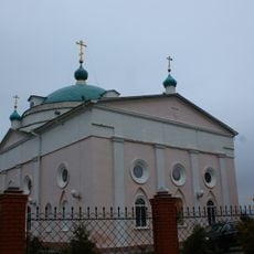
Свято-Никольский храм (Ракитное)
41.8 km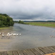
Bakyrivskyy
36.8 km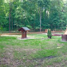
Obraz
38.3 km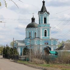
Вознесенский храм (Золочев)
41.8 km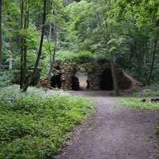
Grotto of the Nymphs
42.5 km
Свято-Троїцька церква (Славгород)
13.7 km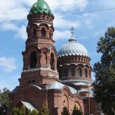
Вознесенська церква
39.7 km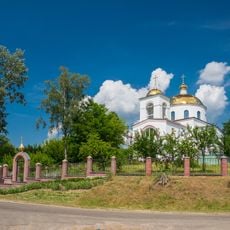
Хрестовоздвиженський храм
39.2 km
Zolochiv museum of local history
41.7 km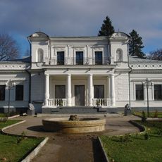
Trostyanets Regional Museum of Local Lore
39.4 km
Магазин купця Ф. Курила
39.7 km
Братська могила радянських воїнів та пам’ятник воїнам-землякам (Велика Писарівка)
10.2 km
Bohodukhiv museum of local history
38.6 km
Благовіщенська церква
39.1 km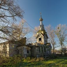
Saint Paraskeva church, Bakyrivka
37.1 km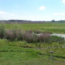
Yamnyi
17.2 km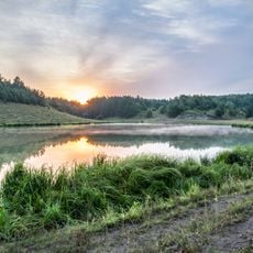
Lisitsa
41.4 km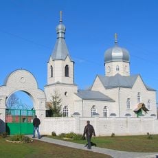
Покровський храм (Писарівка)
35.1 km
Oaks on Miru str.
39.4 km
Trostyanetsky lipy
40.2 km
Vesele
37.2 km
Ділянка лісу (заповідне урочище)
37.4 kmReviews
Visited this place? Tap the stars to rate it and share your experience / photos with the community! Try now! You can cancel it anytime.

Discover hidden gems everywhere you go!
From secret cafés to breathtaking viewpoints, skip the crowded tourist spots and find places that match your style. Our app makes it easy with voice search, smart filtering, route optimization, and insider tips from travelers worldwide. Download now for the complete mobile experience.

A unique approach to discovering new places❞
— Le Figaro
All the places worth exploring❞
— France Info
A tailor-made excursion in just a few clicks❞
— 20 Minutes