Southern Öland cultural landscape, Cultural landscape in Mörbylånga Municipality, Sweden
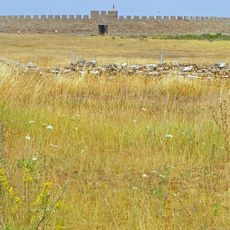
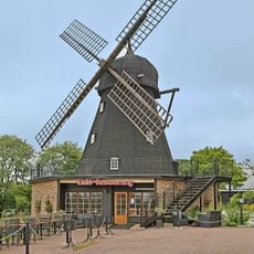
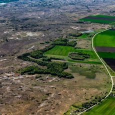
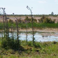
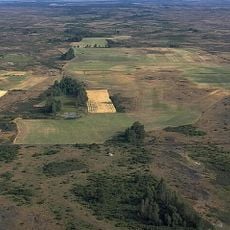
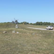
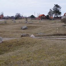
The Southern Öland cultural landscape is a flat region spanning 260 square kilometers, dominated by open fields, meadows, and expansive limestone plateaus dotted with scattered traditional wooden mills. The area displays a classic pattern of settlements with nearby cultivation zones and distant grazing lands, interspersed with archaeological remains and natural rock formations.
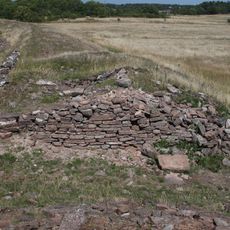
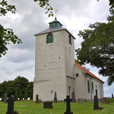
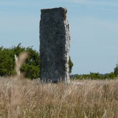
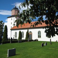
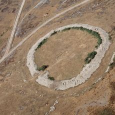
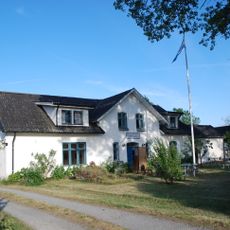
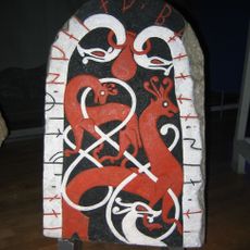
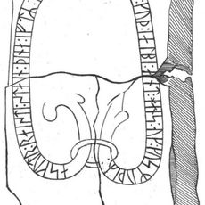
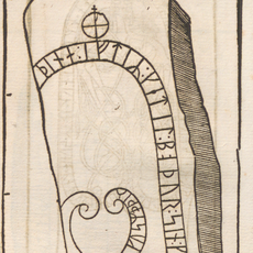
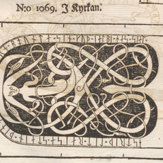
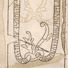
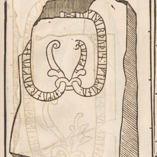
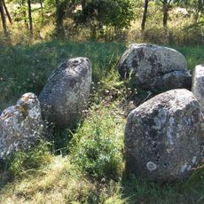
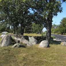
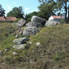
The region shows continuous agricultural use spanning from prehistoric times, with archaeological traces including ancient settlements, burial grounds, and the Karlevi Runestone marking its long occupation. These remnants document how people have shaped this same landscape through millennia of ongoing farming and settlement.
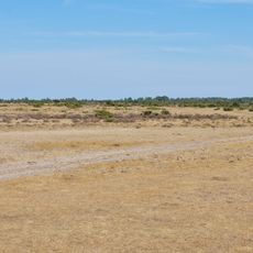
The landscape reflects traditional farming practices where families have divided land into cultivated fields near homes and distant pastures, a pattern still visible in how the terrain is organized. Walking through the region, visitors notice how livestock continues to graze on the exposed limestone areas just as it has for centuries.
A bridge from Kalmar provides access to the site, and marked trails guide visitors through the landscape at a leisurely pace. The flat terrain makes walking easy, though visitors should prepare for changing weather and wear appropriate footwear for exploring the exposed ground.
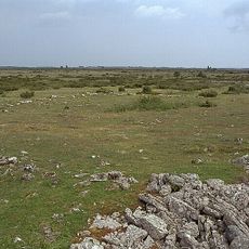
The Stora Alvaret is an unusual limestone plain with minimal soil cover that supports only specialized plants and traditional grazing animals adapted to harsh conditions. This sparse environment has preserved a singular plant community that exists in few other places on the continent.
The community of curious travelers
AroundUs brings together thousands of curated places, local tips, and hidden gems, enriched daily by 60,000 contributors worldwide.