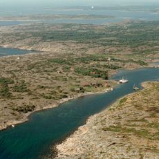
Nidingen, nature reserve in Kungsbacka Municipality, Sweden
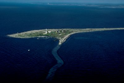
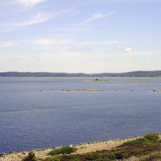
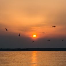
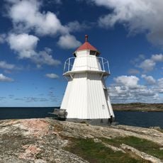
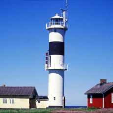
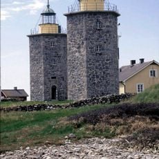
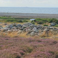
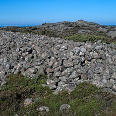
Nidingen is a small island off the coast of Halland, roughly 1 kilometer long and over 300 meters wide. It houses three distinctive stone lighthouse towers and hosts many seabirds, particularly three-toed gulls that nest there.
The island was established as a lighthouse site in 1624 and was among the first places in Sweden to have a light. The stone towers that remain today represent nearly 200 years of maritime infrastructure and are among the only surviving examples of their kind in Sweden.
Nidingen holds a central place in Swedish maritime history, showing how people have traditionally managed the dangers of the sea. The towers shape the island's appearance and remind visitors daily of the connection between human effort and survival on water.
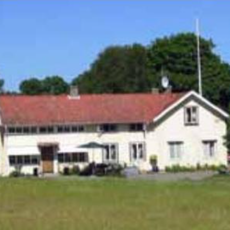
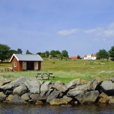
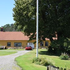
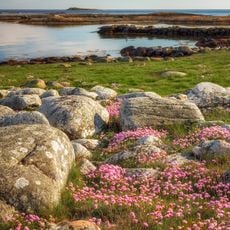
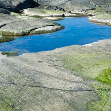
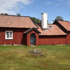
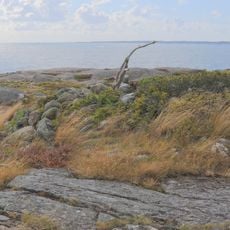
Visitors can reach the island and view the old lighthouse towers up close, while the site remains protected as a nature reserve with rocky shores and open landscape. A small guesthouse offers overnight stays, and guided tours along with birdwatching excursions are available.
In 1776, an early mist signal system was installed here, one of the first of its kind in the world for navigation during poor visibility. This groundbreaking system helped sailors find safe routes through difficult waters and shows the island's innovative role in maritime technology.
The community of curious travelers
AroundUs brings together thousands of curated places, local tips, and hidden gems, enriched daily by 60,000 contributors worldwide.