
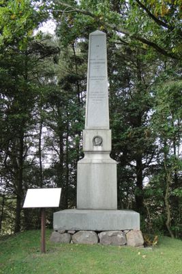
Stjernswärdsmonument, منحوتة
Location: Ängelholm Municipality
GPS coordinates: 56.29700,12.87218
Latest update: March 10, 2025 15:49
UFO-Memorial Ängelholm
7.9 km
Luntertun
3.6 km
Valhall Park
2.3 km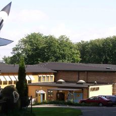
Ängelholms flygmuseum
1.9 km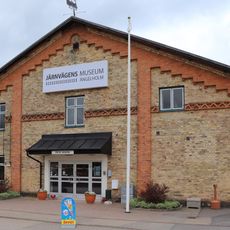
Järnvägens Museum Ängelholm
6.1 km
Ängelholms IP
7 km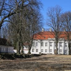
Skillinge säteri
9.2 km
Strand Sibirien
7.5 km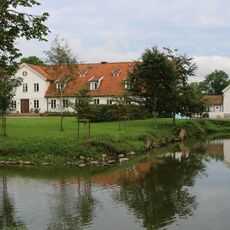
Ängeltofta
1.6 km
Järnvägens Museum
6.1 km
Hembygdspark Ängelholm
4.8 km
Tåstarp Church
5.3 km
Stora Brandsvigs borgruin
4.2 km
Ängelholms bro
6.4 km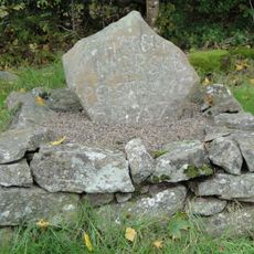
Postrånestenen
7.8 km
Ängelholms strandskog
6.6 km
KVS-museet
6.8 km
Prästängen
4.7 km
Stora Hults strand
8 km
Stora Hults fälad
7.4 km
Magnarps strandmarker
6.4 km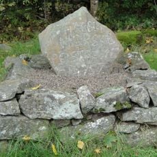
Postrånarstenen
7.8 km
Ängelholms bibliotek
6 km
Hjärnarp 78:1
1 m
Luntertuns kyrka
3.6 km
Vejbystrand Norra
7.1 km
Stora Hults strand
7.9 km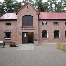
Läder- och lokalhistoriskt museum
5 kmReviews
Visited this place? Tap the stars to rate it and share your experience / photos with the community! Try now! You can cancel it anytime.
Discover hidden gems everywhere you go!
From secret cafés to breathtaking viewpoints, skip the crowded tourist spots and find places that match your style. Our app makes it easy with voice search, smart filtering, route optimization, and insider tips from travelers worldwide. Download now for the complete mobile experience.

A unique approach to discovering new places❞
— Le Figaro
All the places worth exploring❞
— France Info
A tailor-made excursion in just a few clicks❞
— 20 Minutes