Kanin, Mountain summit in Friuli Venezia Giulia, Italy
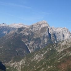
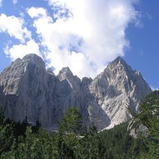
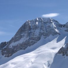
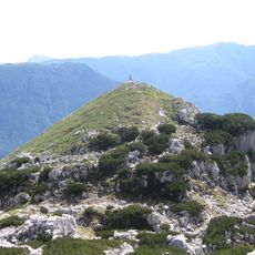
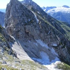
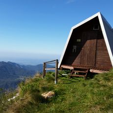
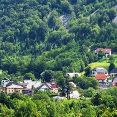
Canin is a mountain summit in the Western Julian Alps that rises to 2535 meters with steep rocky slopes and a small peak area. The terrain features deep crevasses and rough rock formations that create a challenging climbing environment for experienced mountaineers.
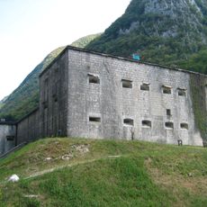
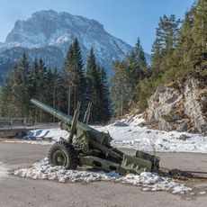
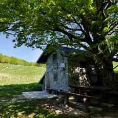
The mountain served as part of ancient trade routes and mountain passages that connected Italian and Slovenian communities across the border. Its importance in climbing history reflects the many established routes developed over generations of mountaineering exploration.
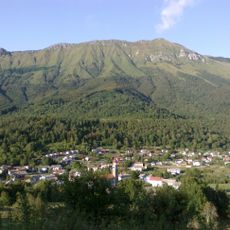
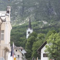
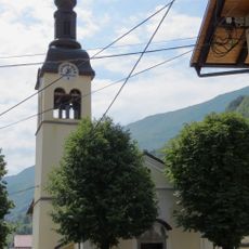
The mountain carries different names depending on the language spoken locally: Friulian speakers call it La Mont Cjanìne while Italian speakers use Canin, reflecting the multilingual character of this border region. These names appear in local conversations and on trail maps throughout the area.
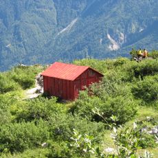
Visitors planning to reach the summit need mountaineering equipment and experience with advanced alpine routes in this terrain. Starting early in the day with stable weather conditions gives climbers adequate daylight and time to safely descend before nightfall.
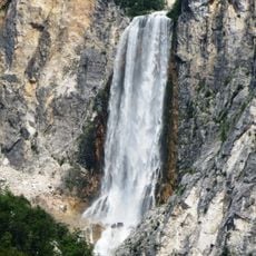
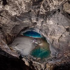
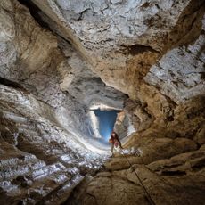
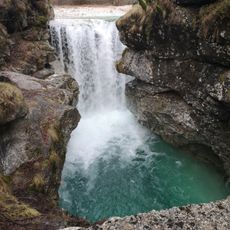
Just below the peak lies a cave system that conceals one of the region's most dramatic geological features. The Vrtoglavica Cave contains the world's deepest known vertical cave shaft at 603 meters, pulling explorers down into an underground realm.
The community of curious travelers
AroundUs brings together thousands of curated places, local tips, and hidden gems, enriched daily by 60,000 contributors worldwide.