
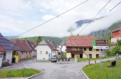
Plužna, place in Slovenian Littoral, Slovenia
Location: Municipality of Bovec
Elevation above the sea: 452 m
GPS coordinates: 46.33611,13.51944
Latest update: June 13, 2025 12:57
Canin
6.7 km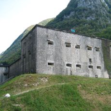
Kluže
6 km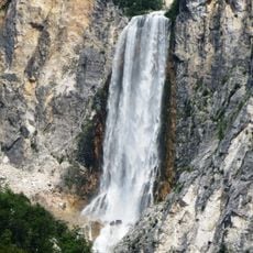
Boka
3.3 km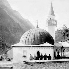
Log pod Mangartom Mosque
9.7 km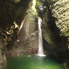
Kozjak Falls
10 km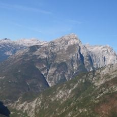
Monte Rombon
4.4 km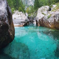
Velika Korita Soče
10 km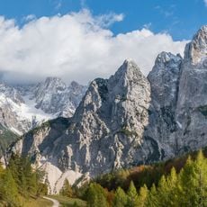
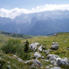
Italian Julian Alps
6.4 km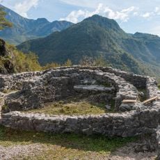
Tonovec Castle
9.9 km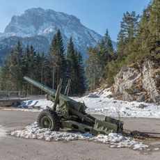
Jerebica
7.8 km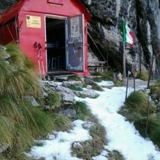
Bivacco Franco Costantini
5.8 km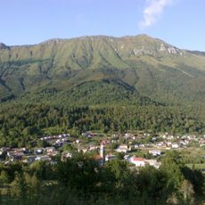
Stol (Julian Alps)
8.2 km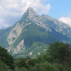
Svinjak
7.2 km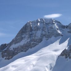
Prestreljenik
4.6 km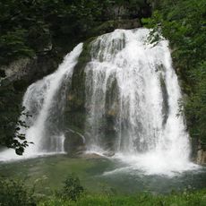
Virje Falls
441 m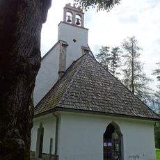
Assumption of Mary Church
2.9 km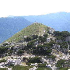
Čukla
3.3 km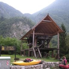
Žičnica Golobar
5.5 km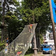
Sella Nevea adventure park
6.8 km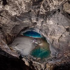
Renetovo brezno
6.1 km
Hlek
7.7 km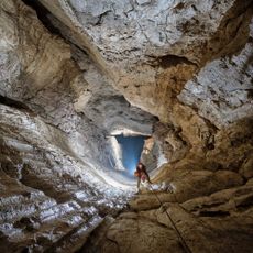
Skalarjevo brezno
4.7 km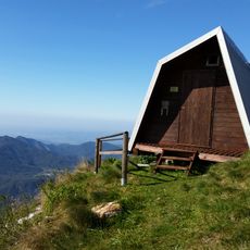
Bivak pod Muzcem
9.8 km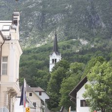
St. Ulrich's Parish Church
2.4 km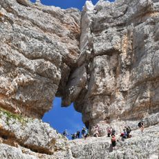
Foro di Prestreljenik
4.7 km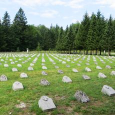
Bovec Military Cemetery
4.2 km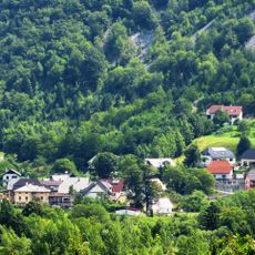
St. Mary of Help Church
3.6 km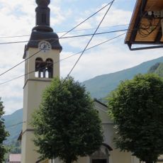
Cerkev sv. Florijana, Srpenica
5.2 kmReviews
Visited this place? Tap the stars to rate it and share your experience / photos with the community! Try now! You can cancel it anytime.
Discover hidden gems everywhere you go!
From secret cafés to breathtaking viewpoints, skip the crowded tourist spots and find places that match your style. Our app makes it easy with voice search, smart filtering, route optimization, and insider tips from travelers worldwide. Download now for the complete mobile experience.

A unique approach to discovering new places❞
— Le Figaro
All the places worth exploring❞
— France Info
A tailor-made excursion in just a few clicks❞
— 20 Minutes