
Vojaški bunker pri Cundrovem mostu v Spodnjih Fužinah
Location: Municipality of Preddvor
GPS coordinates: 46.35794,14.47139
Latest update: June 19, 2025 09:37
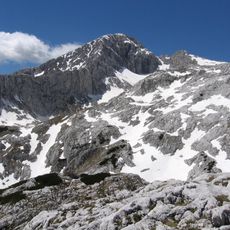
Grintovec
4.9 km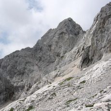
Skuta
6.7 km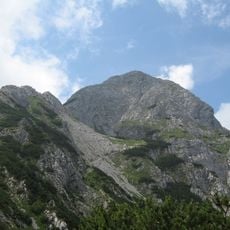
Storžič
5.2 km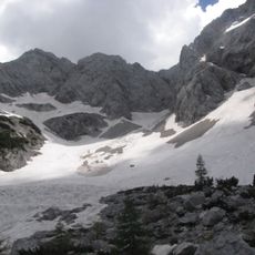
Skuta Glacier
6.9 km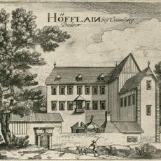
Preddvor Mansion
7.3 km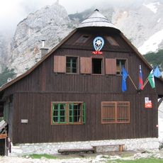
Czech Lodge at Spodnje Ravni
5.1 km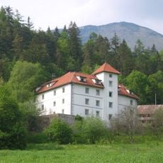
Turn Castle near Preddvor
6.5 km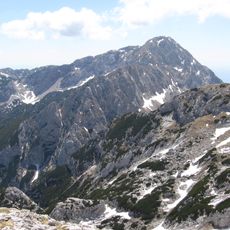
Kalški Greben
5.9 km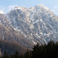
Velika Baba
6.9 km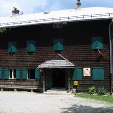
Dom pod Storžičem
6.3 km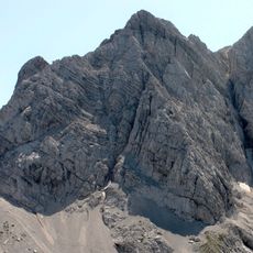
Koroška Rinka
7.3 km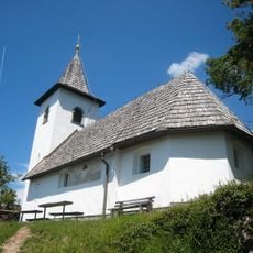
St. James's Church, Potoče
5.3 km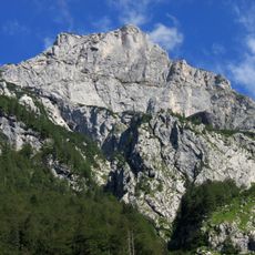
Kogel
6.5 km
St. Lawrence's Church
7 km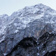
Long Ridge
5.7 km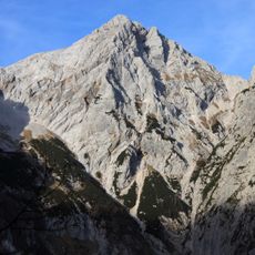
Mount Turska
8.1 km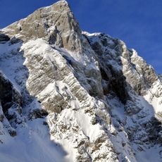
Styria Mount Rinka
7.5 km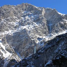
Ledinski vrh
7 km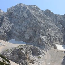
Carniola Mount Rinka
7.1 km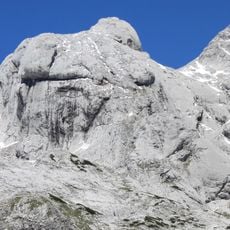
Štruca
6.3 km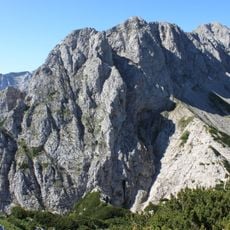
Kalška gora
6.2 km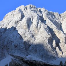
Mala Rinka
7.6 km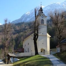
Immaculate Conception Parish Church
6.2 km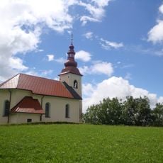
Cerkev sv. Nikolaja, Možjanca
7.2 km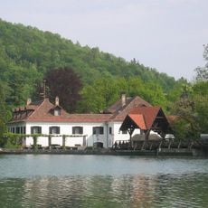
Hrib Mansion
7.1 km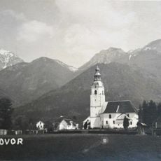
St. Peter Parish Church
7.4 km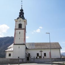
St. Andrew's Church
6.5 km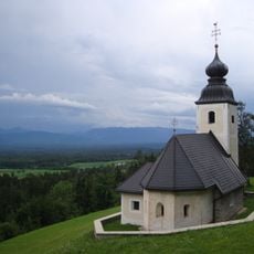
St. Nicholas's Church
6.4 kmReviews
Visited this place? Tap the stars to rate it and share your experience / photos with the community! Try now! You can cancel it anytime.
Discover hidden gems everywhere you go!
From secret cafés to breathtaking viewpoints, skip the crowded tourist spots and find places that match your style. Our app makes it easy with voice search, smart filtering, route optimization, and insider tips from travelers worldwide. Download now for the complete mobile experience.

A unique approach to discovering new places❞
— Le Figaro
All the places worth exploring❞
— France Info
A tailor-made excursion in just a few clicks❞
— 20 Minutes