Krupinská planina, Volcanic plateau in Central Slovakia.
Krupinská planina is a volcanic mountain range of the Slovak Central Highlands in southern Slovakia, built as a plateau and divided into four subunits: Modrokamenské úboče, Dačolomská planina, Bzovícka pahorkatina and Závozská vrchovina. Its highest peak, Dlhý diel at 818 m, lies inside the Lešť military training area; the Russian source instead gives Kopani-Závoz at 775 m. Deep valleys open toward the south, drained by the Krtíš, Tisovník, Stará rieka, Krupinica and Litava rivers.
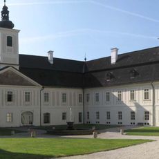
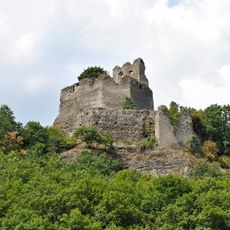
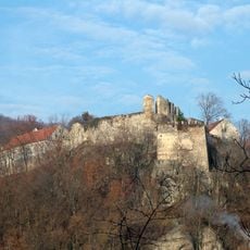
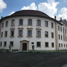
The plateau takes its name from the town of Krupina, and its volcanic relief was shaped within the Slovak Central Mountains. Two medieval monuments stand on its territory: the Romanesque-Gothic fortified monastery of Bzovík and the ruins of Čabrad Castle. Settlement spread in scattered hamlets, called laznícke osídlenie, tied to farming and grazing.
Rural villages across this region focus on fruit growing and raising livestock, shaping how people live and work the land. In the southern areas especially, you can see these farming traditions as a natural part of daily life.
The area is most accessible for hiking and exploring during warmer months when the ground is dry. In winter, elevated paths can become slippery and visibility may be reduced due to weather conditions.
The sources disagree on the summit: the Slovak article gives Dlhý diel at 818 m, inside the Lešť military training area and closed to the public, while the Russian article names Kopani-Závoz at 775 m. Above Horné Plachtince stands Španí laz, topped by a transmitter and a hut.
The community of curious travelers
AroundUs brings together thousands of curated places, local tips, and hidden gems, enriched daily by 94,238 contributors worldwide.