Enable Location

We need your location to show you interesting places around you

Discover nearby places

Find interesting locations and hidden gems around you

Precise directions

Get accurate directions and distances to places

Your location is never shared with other users. It's only used when you tap the location button.

Sivý vrch

Log in to your account

Start exploring — it's free

Trusted by 65,305 travelers worldwide

Continue with Google
Continue with Apple
or

We will send you a code to connect

By continuing, you accept our Terms and Conditions and our Privacy Policy

Check your inbox

We've sent a pincode in your inbox. Please enter the code below.

Sivý vrch
Discussion Reviews 1 Photos
4.4k Popularity

Sivý vrch, National nature reserve and mountain summit in Tvrdošín District, Slovakia.

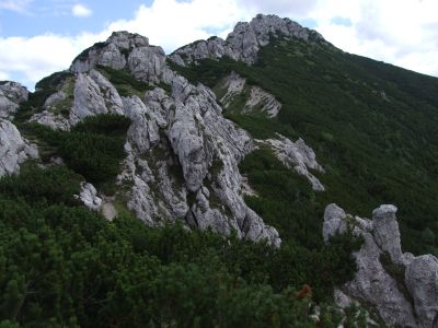
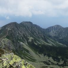
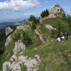
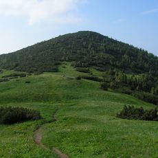
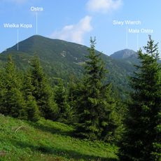
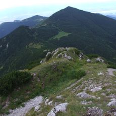
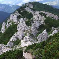
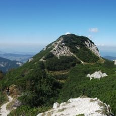
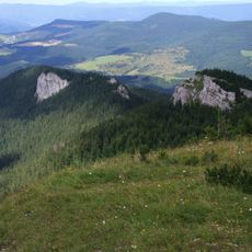
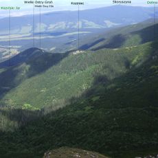
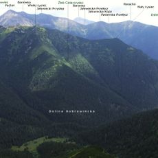
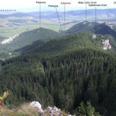
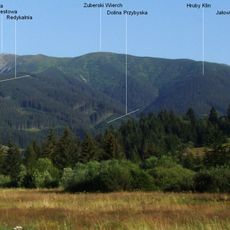
Sivý vrch is a limestone and dolomite mountain on the border of the Tvrdošín and Liptovský Mikuláš districts in Slovakia, rising to about 1805 meters. Its slopes are marked by rock towers and formations that give the terrain a rough, sculpted appearance across the whole massif.

The mountain first appeared in written records in 1615, when it was referred to by names meaning White Rock or Snow Peak. Those early names show how people in the surrounding valleys perceived the summit based on its appearance from below.

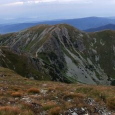
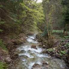
The mountain sits on the boundary between two regions, and hikers from both sides often cross paths on the trails that run through the valleys below. Each route passes through a different type of terrain, giving visitors a varied experience depending on the direction they approach from.

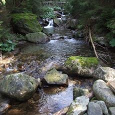
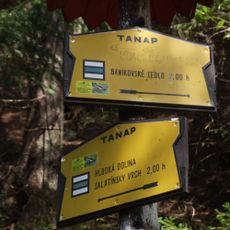
A network of marked trails connects several starting points around the mountain, so the route can be adapted to different levels of fitness. The limestone terrain can become slippery when wet, so checking conditions before setting out is a good idea.

Below the surface lies a cave system with around 62 documented caves, including a vertical shaft known as the Well of Sivý vrch that drops about 250 meters straight down. That depth makes it one of the deepest known shafts in the country.

The community of curious travelers

AroundUs brings together thousands of curated places, local tips, and hidden gems, enriched daily by 60,000 contributors worldwide.

Start exploring
Elevation above the sea
1,805 m
GPS coordinates
49.21113,19.64215
Latest update
March 3, 2026 10:06
Reviews
Share your experience

No review yet

Discussions
Start a discussion...

No discussion yet

« Sivý vrch - National nature reserve and mountain summit in Tvrdošín District, Slovakia » is provided by Around Us (aroundus.com). Images and texts are derived from Wikimedia project under a Creative Commons license. You are allowed to copy, distribute, and modify copies of this page, under the conditions set by the license, as long as this note is clearly visible.

Discover hidden gems everywhere you go!

From secret cafés to breathtaking viewpoints, skip the crowded tourist spots and find places that match your style. Our app makes it easy with voice search, smart filtering, route optimization, and insider tips from travelers worldwide. Download now for the complete mobile experience.

Around Us App Screenshot

A unique approach to discovering new places

Le Figaro

All the places worth exploring

France Info

A tailor-made excursion in just a few clicks

20 Minutes

Around Us
Travel Guide & Maps
Download

Send to your phone

QR Code
1

Open the camera app on your mobile.

2

Point at the QR code with your camera. A notification will appear.

3

Tap the notification to open the link.