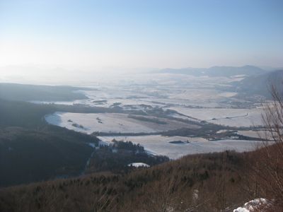
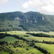
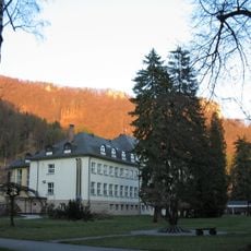
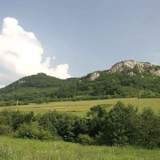
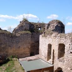
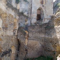
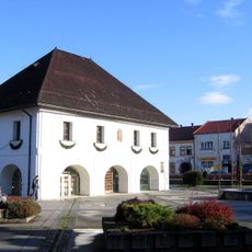
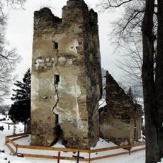
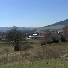
Rajecká kotlina, Low spot in Žilina District, Slovakia.
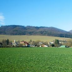
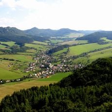
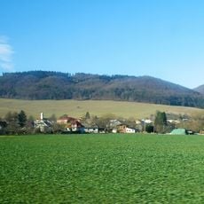
Rajecká kotlina is an elongated basin stretching from Rajecká Lesná to Turie, defined by its network of waterways. The Rajčanka river and its tributary streams flow through the central landscape, shaping the valley floor.
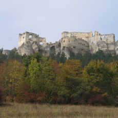
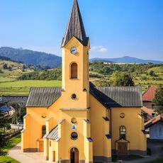
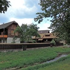
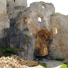
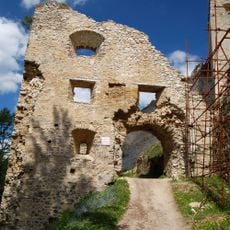
People first settled in this area during prehistoric times, as shown by archaeological evidence from the Eneolithic period. Slavic communities arrived in the 6th century and became the dominant inhabitants of the region.
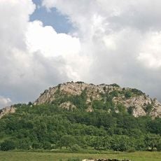
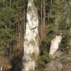
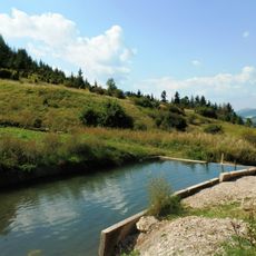
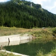
The region contains numerous protected natural zones including Kľak, Kozol, Šujské rašelinisko, and Turská skala, which showcase native plant species.
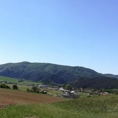
The main road through the basin is Route I/64, which connects Žilina and Prievidza via Rajecké Teplice and Rajec. This route provides convenient access for exploring settlements and sites across the valley.
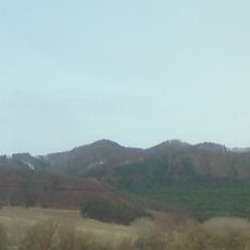
The basin borders include the Turianský potok in the north, the Čierňanka river near Rajec in the west, and the Lúčanská Fatra mountains in the east.
The community of curious travelers
AroundUs brings together thousands of curated places, local tips, and hidden gems, enriched daily by 60,000 contributors worldwide.