
Vojenská nemocnica sov. a., národná kultúrna pamiatka v Bratislave, okrese Bratislava IV
Location: Bratislava
Inception: April 3, 1960
GPS coordinates: 48.17245,17.07253
Latest update: March 4, 2025 07:41
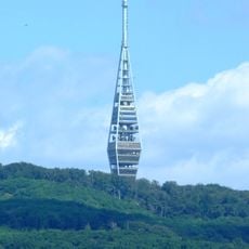
Kamzík TV Tower
2 km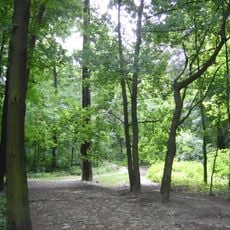
Horský park
2.1 km
Kramáre
1.3 km
Bratislava Zoo
1.1 km
Gemsenberg
1.9 km
The Monuments Board of the Slovak Republic
169 m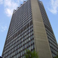
Slovak Television building
1.8 km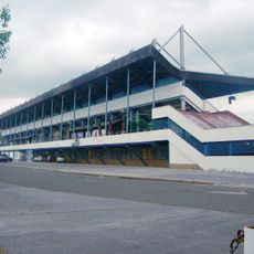
Stadium ŠKP Inter Dúbravka
1.7 km
Rote Brücke
208 m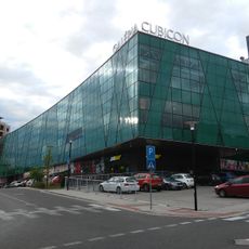
Cubicon
1.6 km
Lamač Gate
662 m
DinoPark Bratislava
1 km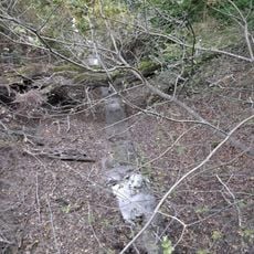
Čierny potok
1.7 km
Pomník Heinricha Justiho
2.1 km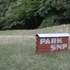
Park SNP
1.8 km
Lesné diely
799 m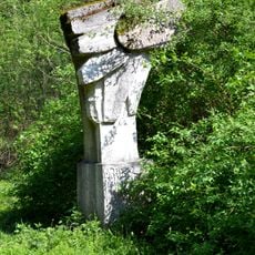
Pomník prvomáj. manifestácie
1.8 km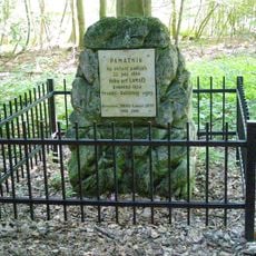
Pomník padlým v roku 1866
2.1 km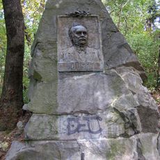
Uhorský verejný činiteľ
2.1 km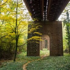
Červený most-fragment piliera
205 m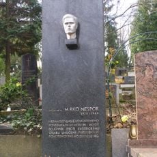
Hrob Mirka Nešpora
1.9 km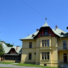
Manor of Moritz Hugo
1.9 km
Kühmayerova továreň-7. mlyn
141 m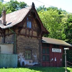
Stanica Železná Studienka, budova výpravná s čakárňou
217 m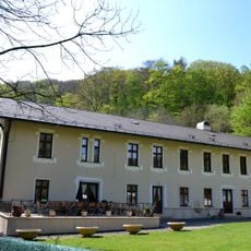
9. mlyn
1.6 km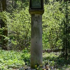
Božia muka
1.1 km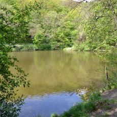
Rybníky, jazerá, nádrž vodná III.
986 m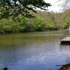
Lake IV
791 mVisited this place? Tap the stars to rate it and share your experience / photos with the community! Try now! You can cancel it anytime.
Discover hidden gems everywhere you go!
From secret cafés to breathtaking viewpoints, skip the crowded tourist spots and find places that match your style. Our app makes it easy with voice search, smart filtering, route optimization, and insider tips from travelers worldwide. Download now for the complete mobile experience.

A unique approach to discovering new places❞
— Le Figaro
All the places worth exploring❞
— France Info
A tailor-made excursion in just a few clicks❞
— 20 Minutes