
Bakel, department of Senegal
Location: Tambacounda Region
Elevation above the sea: 43 m
GPS coordinates: 14.90250,-12.45944
Latest update: March 9, 2025 05:40

Niokolo-Koba National Park
220.6 km
River Gambia National Park
304.2 km
MacCarthy Island
291.9 km
Gouina Falls
176.5 km
Bassari Country
260.4 km
Badiar National Park
270.8 km
Dindefelo Falls
282.9 km
Félou Falls
134.5 km
Lake Manantali
299.8 km
Talari Gorges
203.6 km
Cercles de pierres de Wassu
292.5 km
Deer Island (Gambia)
308.7 km
Isla Sepu
300.2 km
Tata of Koniakary
171.7 km
Isla Brikama
307.5 km
Bird Island
297.3 km
Eisenbahnbrücke von Kidira
56.3 km
Cercles de pierres de Kerbatch
312.4 km
Sankulay Kunda Bridge
292.3 km
Straßenbrücke von Kidira
56.8 km
Isla Pangon
292.5 km
Isla Pasari
220.1 km
Isla Ba Faraba
324.5 km
Mimang Island
304 km
Pappa Island
329.1 km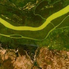
Little Pappa Island
331.5 km
Fort de Médine
131.3 km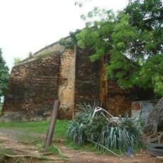
Slave House
291.1 kmReviews
Visited this place? Tap the stars to rate it and share your experience / photos with the community! Try now! You can cancel it anytime.
Discover hidden gems everywhere you go!
From secret cafés to breathtaking viewpoints, skip the crowded tourist spots and find places that match your style. Our app makes it easy with voice search, smart filtering, route optimization, and insider tips from travelers worldwide. Download now for the complete mobile experience.

A unique approach to discovering new places❞
— Le Figaro
All the places worth exploring❞
— France Info
A tailor-made excursion in just a few clicks❞
— 20 Minutes