Tambacounda Region, Agricultural region in southeastern Senegal.
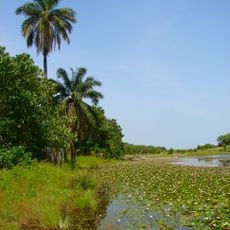
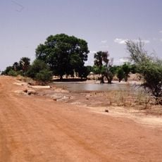
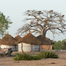
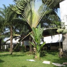
Tambacounda Region is a large administrative area in southeastern Senegal, stretching across open savannas and scattered acacia woodlands. It borders Mali and the Gambia, making it a natural corridor between Senegal and its neighbors to the east and south.
The region was established as an administrative unit in 1919, shortly after the completion of the Dakar-Bamako railway line. That rail connection turned Tambacounda into a key hub, drawing traders and settlers from across the Sahel.
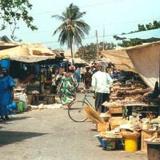
The Mandinka, Fula, and Wolof communities have shaped daily life here for generations through farming and herding. On open grasslands, Fula herders move cattle across long distances, a sight that speaks to a way of life closely tied to the land.
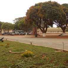
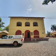
The dry season from November to March is the best time to travel here, as roads become more passable and the heat is less extreme. Several towns across the region offer basic accommodation and work well as starting points for exploring the surrounding land.
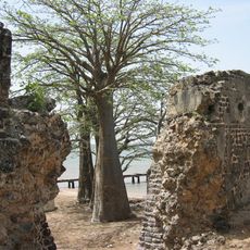
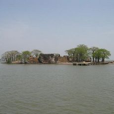
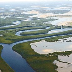
A large part of the region falls within Niokolo-Koba National Park, one of the few places in West Africa where lions, elephants, and chimpanzees still live in the wild. The park holds UNESCO World Heritage status, though it has also been listed as a site in danger for several years.
The community of curious travelers
AroundUs brings together thousands of curated places, local tips, and hidden gems, enriched daily by 60,000 contributors worldwide.