Senegal, Republic in West Africa
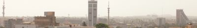
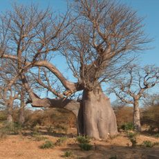
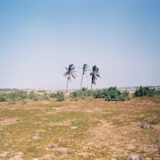
Senegal is a West African republic on the Atlantic coast with varied landscapes from Sahel in the north through central savanna regions to mangrove forests and tropical vegetation in the southern Casamance area. The Senegal River marks the northern boundary while the interior features flat plains and gentle hills.
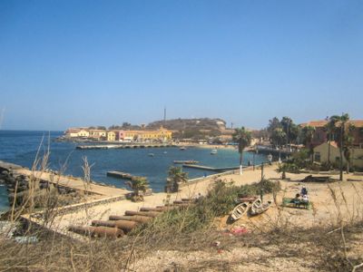
Various kingdoms including the Jolof Empire and Kingdom of Sine controlled the territory before European arrival in the fifteenth century when Portuguese traders established early trading posts. France established colonial control during the nineteenth century and made Saint-Louis the administrative capital until the independence movement grew after World War II and sovereignty was achieved in 1960 under Léopold Sédar Senghor.
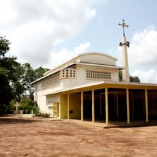
The Wolof people form the largest ethnic group, where griots preserve oral traditions through generations by sharing historical knowledge through song and storytelling. Teranga, the principle of hospitality, shapes social life and appears in daily interactions through open doors and shared meals throughout the territory.
The main travel season runs from November through May during the dry period when temperatures are more comfortable and rainfall is minimal. Blaise Diagne International Airport, about 50 kilometers from Dakar, offers connections to Europe and other African cities, while the national currency is the West African CFA franc.
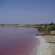
Lake Retba northeast of Dakar displays pink-colored water due to specific algae species and high salt concentration that changes color intensity depending on sunlight exposure. The salinity surpasses that of the Dead Sea and allows effortless floating, while traditional salt harvesters work in the lake.
The community of curious travelers
AroundUs brings together thousands of curated places, local tips, and hidden gems, enriched daily by 60,000 contributors worldwide.