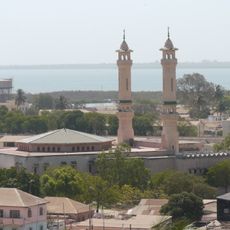
Fatick Region, Administrative region in western Senegal.
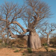
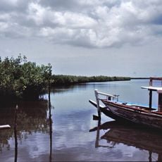
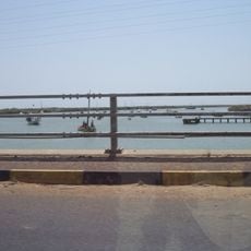
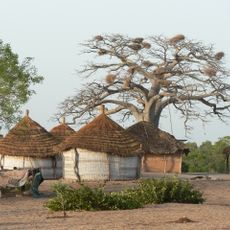
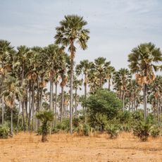
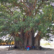
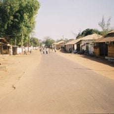
Fatick Region is an administrative area in western Senegal comprising several communes spread across agricultural fields, seasonal wetlands, and traditional villages. The landscape consists of cultivated farmland, natural water bodies, and settlements made up of modest homes and communal structures arranged without formal planning.
The region took its current administrative form in 2007, based on centuries of trade networks and cultural interaction between Wolof, Serer, and Mandinka communities. This reorganization formalized long-established connections between these groups who had shaped the territory for generations.
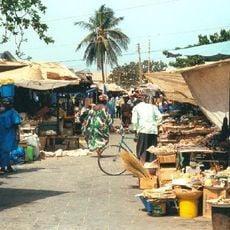
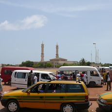
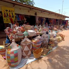
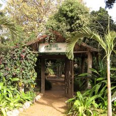
Local markets showcase traditional craftsmanship including pottery, weaving, and woodcarving, with artisans working using techniques taught by their families. Visitors can watch these practices and see how they remain woven into daily commercial life.
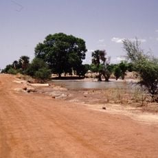
The region experiences two distinct seasons: the rainy period from June to October supports agricultural work, while the dry season makes traveling easier. Visitors should plan ahead since local activities and market life follow the rhythm of planting and harvest cycles.
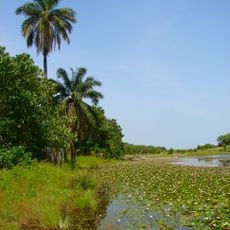
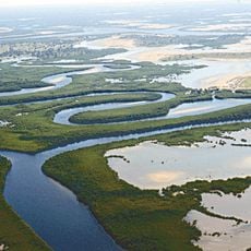
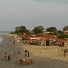
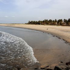
Despite being relatively close to the capital, the region maintains its own distinct rhythm driven by fishing and rice cultivation that sets it apart from urban centers. This combination of farming and water-based work creates a self-contained local economy with minimal ties to national trade routes.
The community of curious travelers
AroundUs brings together thousands of curated places, local tips, and hidden gems, enriched daily by 60,000 contributors worldwide.