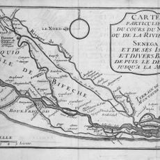
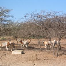
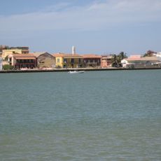
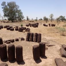
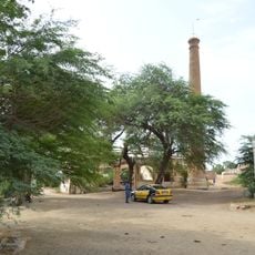
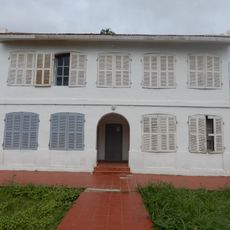
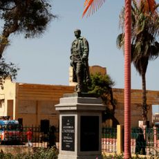
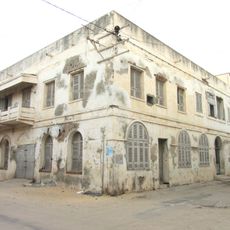
Linguère, department of Senegal
The community of curious travelers
AroundUs brings together thousands of curated places, local tips, and hidden gems, enriched daily by 60,000 contributors worldwide.
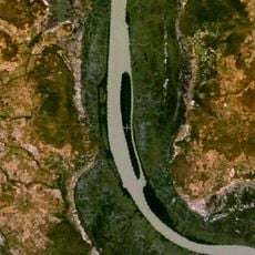
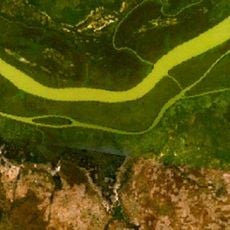
Location
Capital city
Linguère
Shares border with
Louga Department, Kébémer, Saint-Louis, Matam, Kaffrine, Diourbel Region
GPS coordinates
15.39528,-15.11917
Latest update
April 12, 2025 14:10