
Phrasaeng, district in Surat Thani province, Thailand
Location: Surat Thani
Elevation above the sea: 24 m
Shares border with: Chai Buri
GPS coordinates: 8.56833,99.24833
Latest update: April 11, 2025 11:47
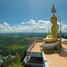
Wat Tham Suea
60.9 km
Khao Phanom Bencha National Park
51.6 km
Wat Maha That Wachiramongkon
58.5 km
Than Bok Khorani National Park
60 km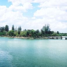
Ko Lamphu
63.8 km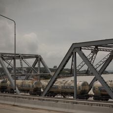
Chulachomklao bridge
60.7 km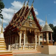
Wat Phothawat
63 km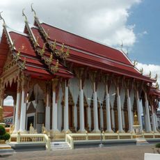
Wat Thammabucha
64.6 km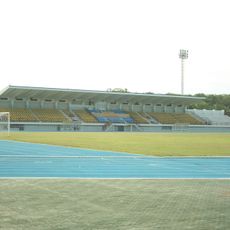
Surat Thani Stadium
63.9 km
Krabi Provincial Stadium
62.9 km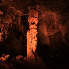
Tai Romyen National Park
39.9 km
Wat Tham Singkhon
57.5 km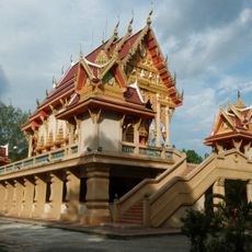
Wat Samakkhi Phadung Phan
62.8 km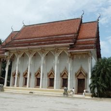
Wat Phunphin Tai
63.2 km
Wat Klang
64.9 km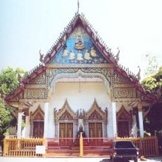
Wat Trai Thammaram
64.2 km
Wat Klang Mai
61.4 km
Nong Thung Thong
30.5 km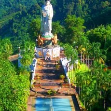
Wat Rat Uppatham
63.8 km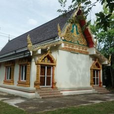
Wat Na Mueang
62.7 km
Wat Sai
64.8 km
Wat Wiphawadi Kanchanaram
64.1 km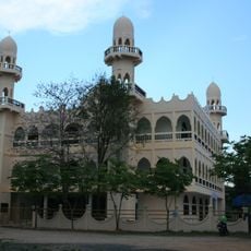
Surat Thani Central Mosque
64.7 km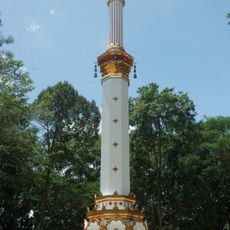
Phra That Si Surat
60.2 km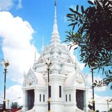
Surat Thani City pillar shrine
64.1 km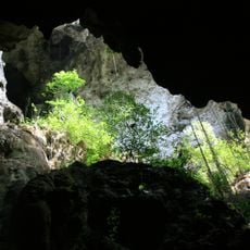
Singkhon cave
57.4 km
Kamin cave
32.6 km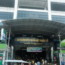
Surat Thani City Fresh Market
64.4 kmReviews
Visited this place? Tap the stars to rate it and share your experience / photos with the community! Try now! You can cancel it anytime.
Discover hidden gems everywhere you go!
From secret cafés to breathtaking viewpoints, skip the crowded tourist spots and find places that match your style. Our app makes it easy with voice search, smart filtering, route optimization, and insider tips from travelers worldwide. Download now for the complete mobile experience.

A unique approach to discovering new places❞
— Le Figaro
All the places worth exploring❞
— France Info
A tailor-made excursion in just a few clicks❞
— 20 Minutes