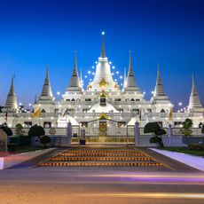
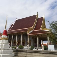
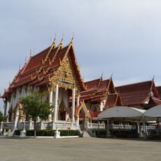
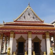
Mueang Samut Prakan, Administrative district in Samut Prakan, Thailand.
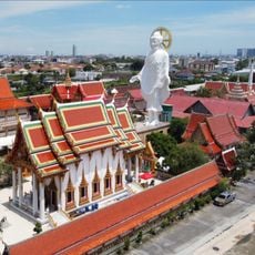
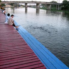
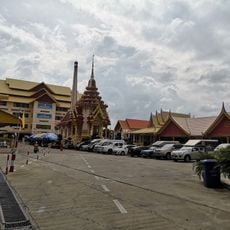
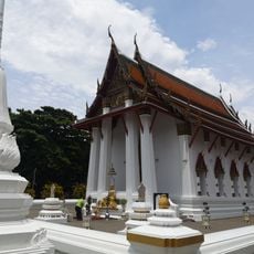
Mueang Samut Prakan is an administrative district at the mouth of the Chao Phraya River and extends across a large area with multiple subdistricts and administrative villages. The landscape is crossed by river channels and shows a mix of rural and urban features.
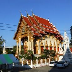
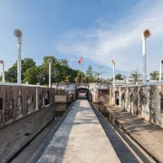
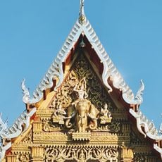
The district gained strategic importance in the early 19th century when royal fortifications were built along the Chao Phraya River to protect trade routes. These structures shaped the area's development as a vital defensive outpost for the region.
The district name combines Sanskrit words, with samut meaning ocean and prakan meaning fortress, reflecting its traditional role as a coastal defense point. These terms shape the place's identity today and remind visitors of its historical roots.
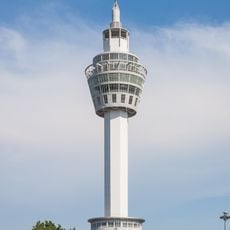
The district is well served by transportation, including the BTS Skytrain line and major roads like Sukhumvit Road, which provide easy access to Bangkok. Visitors should be aware that the coastal area undergoes constant natural changes and should plan with flexibility.
The area has undergone significant coastal erosion processes for decades, constantly reshaping the landform and affecting the mangrove forests in the region. These natural changes make the place an interesting example of how coastal landscapes evolve.
The community of curious travelers
AroundUs brings together thousands of curated places, local tips, and hidden gems, enriched daily by 60,000 contributors worldwide.