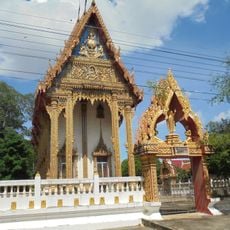
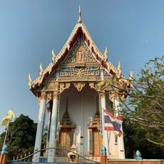
Wang Thong, Administrative district in Phitsanulok, Thailand.
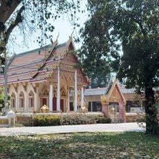
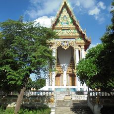
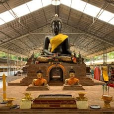
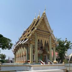
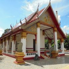
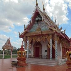
Wang Thong is an administrative district in Phitsanulok province comprising rural settlements spread across eleven sub-districts and numerous villages. The landscape consists mainly of farmland, rivers, and scattered communities spread throughout the region.
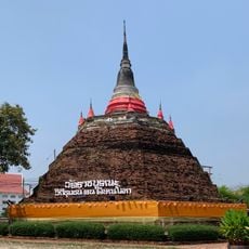
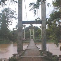
The district was established in 1895 as Nakhon Pa Mak but relocated multiple times due to severe flooding. It eventually settled near the Wang Thong River, where it remains today.
The area reflects the lifestyle of rural communities who maintain traditional farming practices and close-knit neighborhood ties. Local villages follow established social structures that organize daily activities and connection among residents.
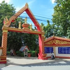
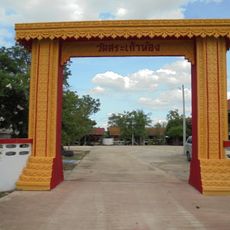
The area is accessible by roads connecting the villages and leading to water sources and natural features. Getting around requires local transport since distances between settlements are spread out across the district.
The district borders two major national parks, Kaeng Chet Khwae and Thung Salaeng Luang, making it a significant conservation zone. This proximity to protected forests shapes the local landscape and provides opportunities for nature observation.
The community of curious travelers
AroundUs brings together thousands of curated places, local tips, and hidden gems, enriched daily by 60,000 contributors worldwide.