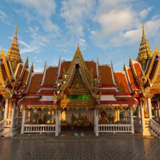
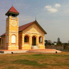
Bang Kho Laem District, Administrative district near Chao Phraya River in Bangkok, Thailand.
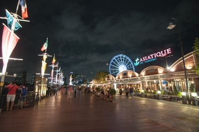
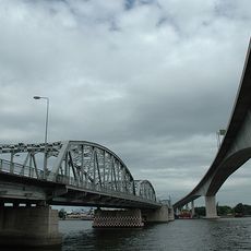
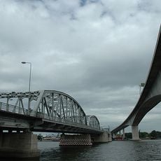
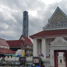
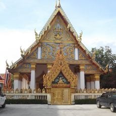
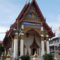
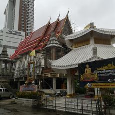
Bang Kho Laem is an administrative district in Bangkok that extends along the Chao Phraya River and combines residential neighborhoods, commercial zones, and waterfront areas. Within its boundaries, you find a mix of narrow lanes, larger roads, and open spaces used by different types of people and businesses.
The area was originally part of a larger administrative unit and was established as a separate district in 1989. This separation allowed for better management of the rapidly growing area along the river.
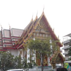
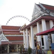
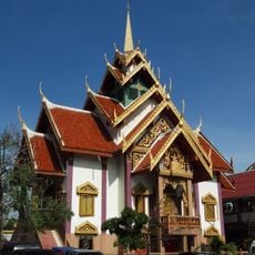
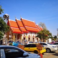
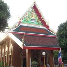
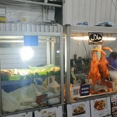
A significant Muslim community lives in the neighborhood, where traditional shops and food stalls line the narrow streets. Local residents have maintained their customs here for generations, shaping the daily rhythm of the area.
The district is walkable if you are familiar with local patterns and willing to explore small paths. For longer distances, the main roads Rama III and Charoen Krung serve as key orientation points where taxis and buses run regularly.
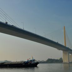
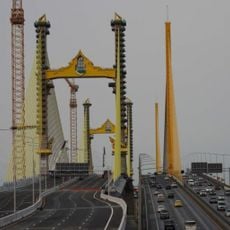
The district's name describes the shape of a peninsula formed by a sharp bend in the river. This geographical feature is clearly visible from the water and gave the place its name long ago.
The community of curious travelers
AroundUs brings together thousands of curated places, local tips, and hidden gems, enriched daily by 60,000 contributors worldwide.