
Mae Poen, subdistrict in Mae Poen district, Nakhon Sawan province, Thailand
Location: Mae Poen
Inception: September 30, 1992
GPS coordinates: 15.65820,99.46870
Latest update: March 3, 2025 01:48
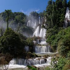
Thi Lo Su waterfall
82.3 km
Huai Kha Khaeng Wildlife Sanctuary
69.4 km
Thungyai Naresuan Wildlife Sanctuary
69.4 km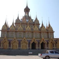
Wat Chan Tharam
74.4 km
Thungyai-Huai Kha Khaeng Wildlife Sanctuaries
69.4 km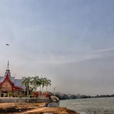
Wat Pak Khlong Makham Thao
77 km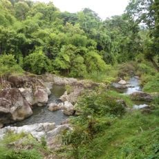
Mae Wong National Park
49.3 km
Dechatiwong bridge
70.3 km
Wat Nakhon Sawan
71.6 km
Phu Toei National Park
83.4 km
Khlong Lan National Park
63.2 km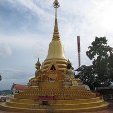
Wat Woranat Banphot
71.6 km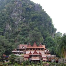
Wat Tham Khao Wong
69.7 km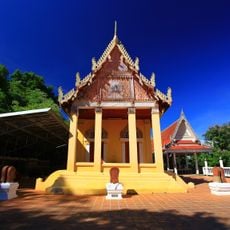
Wat Thammamun
80.2 km
Wat Sangkat Rattana Khiri
66.7 km
Wat Sa Thale
75.3 km
Wat Thung Sanun Rattanaram
75.1 km
Nakhon Sawan Stadium
68.6 km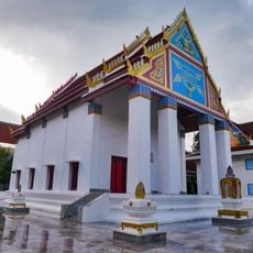
Wat Mani Sathit Kapittharam
66.9 km
Wat Uposatharam
67.5 km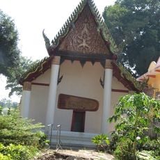
Wat Ko Hong
66.2 km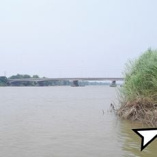
สะพานสมเด็จพระวันรัต (เฮง เขมจารี)
76 km
Nakhon Sawan Sport School Stadium
71.7 km
Uthai Thani Province Stadium
65.7 km
Khlong Lan Waterfall
56.4 km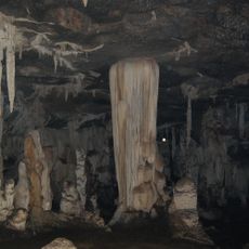
Tham Phu Wai
72.3 km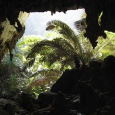
Hup Patat cave
35.9 km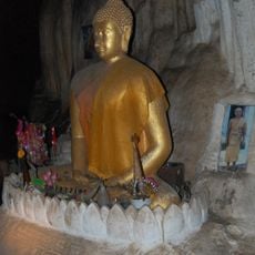
Wat Tham Thong
35.2 kmReviews
Visited this place? Tap the stars to rate it and share your experience / photos with the community! Try now! You can cancel it anytime.
Discover hidden gems everywhere you go!
From secret cafés to breathtaking viewpoints, skip the crowded tourist spots and find places that match your style. Our app makes it easy with voice search, smart filtering, route optimization, and insider tips from travelers worldwide. Download now for the complete mobile experience.

A unique approach to discovering new places❞
— Le Figaro
All the places worth exploring❞
— France Info
A tailor-made excursion in just a few clicks❞
— 20 Minutes