
Um Chan, subdistrict in Prachaksinlapakhom district, Udon Thani province, Thailand
Location: Prachaksinlapakhom
GPS coordinates: 17.23363,103.04239
Latest update: April 24, 2025 03:03

Ban Chiang
28.9 km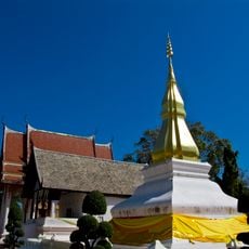
Phra That Kham Kaen
75.2 km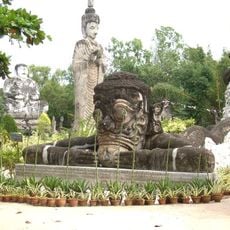
Sala Keoku
77.8 km
Wat Phra That Bang Phuan
67.7 km
Wat Pa Ban Tat
29.1 km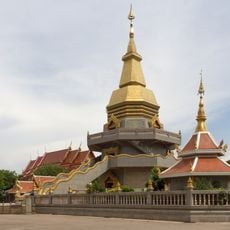
Wat Pho Somphon
34.5 km
Thep Suda Bridge
72.8 km
Thamkǭngphēn Monastery
54.3 km
Wat Pho Chai
78.5 km
Wat Kham Chanot
65.9 km
Wat Matchimawat
33.6 km
Wat Si Khun Mueang
78.8 km
Nam Phong National Park
59.8 km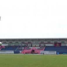
Nong Bua Lamphu Province Stadium
66.8 km
Udon Thani city pillar shrine
33.7 km
Wat Si That Phra Mancha
33.7 km
Wat Si Khun Mueang
64.1 km
Udon Thani Rajabhat University Stadium
32.5 km
Wat Si Bun Rueang
13 km
Wat That Han Thao
64 km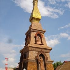
Wat That Si Mongkhon
65.9 km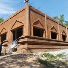
Wat Pa Sam Kasat
36.6 km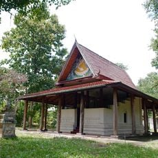
Wat Thip Phayaram
68.7 km
Chinese Shrine in Udon Thani
33.8 km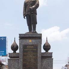
Krommaluang Prachaksinlapakhom Monument
32.2 km
Nam Un Reservoir
71.5 km
Huai Luang reservoir
50.2 km
Wat Sa Kaeo
56.1 kmReviews
Visited this place? Tap the stars to rate it and share your experience / photos with the community! Try now! You can cancel it anytime.
Discover hidden gems everywhere you go!
From secret cafés to breathtaking viewpoints, skip the crowded tourist spots and find places that match your style. Our app makes it easy with voice search, smart filtering, route optimization, and insider tips from travelers worldwide. Download now for the complete mobile experience.

A unique approach to discovering new places❞
— Le Figaro
All the places worth exploring❞
— France Info
A tailor-made excursion in just a few clicks❞
— 20 Minutes