
Nam Tok Sap Toei, Wasserfall in Thailand
Location: Ratchaburi
Elevation above the sea: 228 m
GPS coordinates: 13.38833,99.37417
Latest update: April 3, 2025 16:08
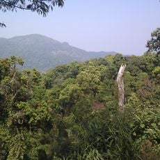
Kaeng Krachan National Park
60 km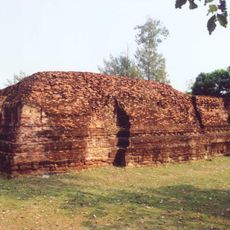
Khu Bua
51.2 km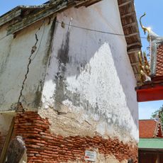
Wat Intharam
59.5 km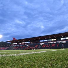
Mitr Phol Stadium
45.3 km
Ratchaburi Railway Station
51.2 km
Khao Ngu Stone Park
47.9 km
Wat Maha That Wora Wihan
50.8 km
Kaeng Krachan Forest Complex
58.3 km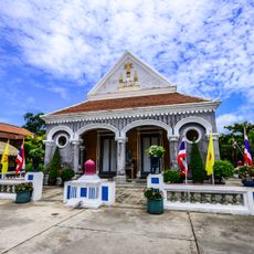
Wat Si Suriyawong
50.7 km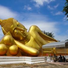
Wat Aranyikawat
50.1 km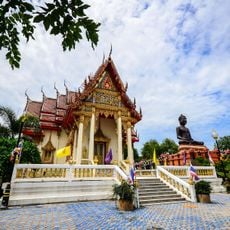
Wat Khlong Suwannakhiri
51.1 km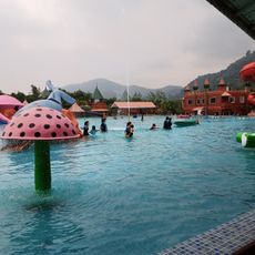
The Resort Water Park
39.6 km
Wat Chong Phran
56.5 km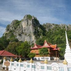
Wat Khao Yoi
52 km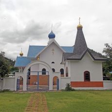
Holy Dormition Orthodox monastery in Ratchaburi province
44.9 km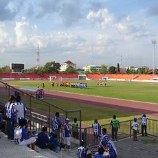
Ratchaburi Provincial Stadium
50.2 km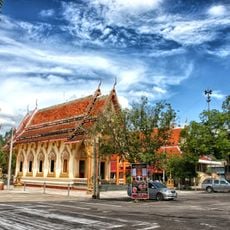
Wat Pramot
56.8 km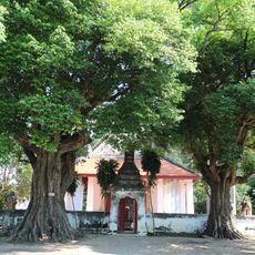
Wat Ko San Phra
55.6 km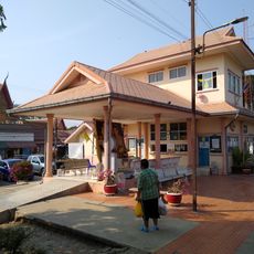
Chet Samian Railway Station
55.7 km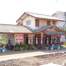
Nong Pla Lai Railway Station
58.2 km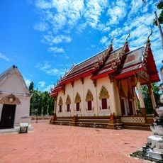
Wat Khao Luea
50.5 km
Klondo archaeological site
59.6 km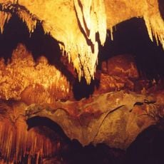
Khao Bin cave
38.9 km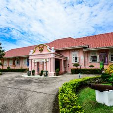
Ratchaburi national museum
51 km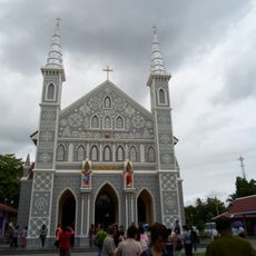
Sacred Heart Church
56.1 km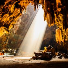
Chomphon cave
34.8 km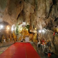
Khao Yaoi cave
52 km
Kaeng Krachan Reservoir
59.4 kmReviews
Visited this place? Tap the stars to rate it and share your experience / photos with the community! Try now! You can cancel it anytime.
Discover hidden gems everywhere you go!
From secret cafés to breathtaking viewpoints, skip the crowded tourist spots and find places that match your style. Our app makes it easy with voice search, smart filtering, route optimization, and insider tips from travelers worldwide. Download now for the complete mobile experience.

A unique approach to discovering new places❞
— Le Figaro
All the places worth exploring❞
— France Info
A tailor-made excursion in just a few clicks❞
— 20 Minutes