
Nam Tok Thi Lo Cho, Wasserfall in Thailand
Location: Tak
Elevation above the sea: 579 m
GPS coordinates: 16.01222,98.83556
Latest update: June 23, 2025 10:21

Thi Lo Su waterfall
13 km
Huai Kha Khaeng Wildlife Sanctuary
76.1 km
Thungyai Naresuan Wildlife Sanctuary
76.1 km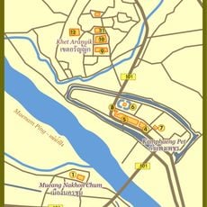
Kamphaeng Phet Historical Park
90.4 km
Uttamanusorn Bridge
105.2 km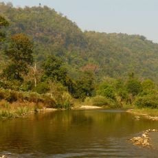
Thungyai-Huai Kha Khaeng Wildlife Sanctuaries
76.1 km
Leke
89.3 km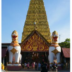
Wat Wang Wiwekaram
106.8 km
Mae Wong National Park
42.8 km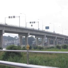
Thai-Myanmar Friendship Bridge
82.9 km
Khlong Lan National Park
41.3 km
Wat Phra Kaeo
90.1 km
Wat Phra Si Iriyabot
90.7 km
Wat Chang Rop
90.2 km
Wat Phra Borom That
88.9 km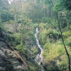
Khlong Wang Chao National Park
81.7 km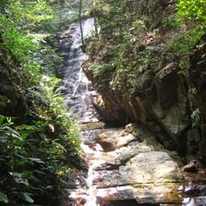
Taksin Maharat National Park
86.1 km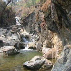
Lan Sang National Park
88 km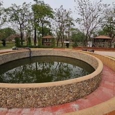
Phra Ruang Hot Springs
98.8 km
Nam Tok Pha Charoen National Park
57 km
Kamphaeng Phet Provincial Administrative Organization Stadium
89.7 km
Wat Thai Samakkhi
90.8 km
Wat Khao Nang Thong
104.1 km
Wat Mani Phraison
83.3 km
Wat Chumphon Khiri
83.5 km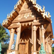
Wat Nong Luang
11.6 km
Wat Bang
90.1 km
Mahniyadanar Sandawshin Pagoda
100.3 kmReviews
Visited this place? Tap the stars to rate it and share your experience / photos with the community! Try now! You can cancel it anytime.
Discover hidden gems everywhere you go!
From secret cafés to breathtaking viewpoints, skip the crowded tourist spots and find places that match your style. Our app makes it easy with voice search, smart filtering, route optimization, and insider tips from travelers worldwide. Download now for the complete mobile experience.

A unique approach to discovering new places❞
— Le Figaro
All the places worth exploring❞
— France Info
A tailor-made excursion in just a few clicks❞
— 20 Minutes