
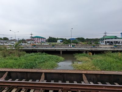
Khlong Ta Ma, canal in Phra Nakhon Si Ayutthaya, Thailand
Location: Phra Nakhon Si Ayutthaya
Elevation above the sea: 8 m
GPS coordinates: 14.22611,100.58083
Latest update: March 18, 2025 21:42

Wat Yai Chai Mongkhon
13.3 km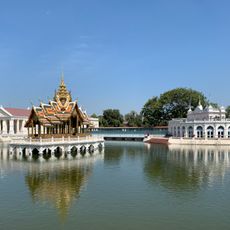
Bang Pa-In Royal Palace
734 m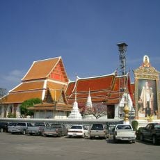
Wat Phanan Choeng
13.1 km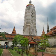
Wat Phutthaisawan
12.8 km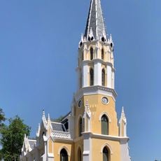
Wat Niwet Thammaprawat
776 m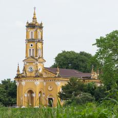
Saint Joseph Church
13 km
Wat Bot
13.2 km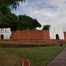
Phet Fort
13.4 km
Baan Hollanda
12.8 km
Wat Khanon Nuea
7.7 km
Wat Chumphon Nikayaram
1.2 km
Wat Krang
13.2 km
Wat Tawet
12.5 km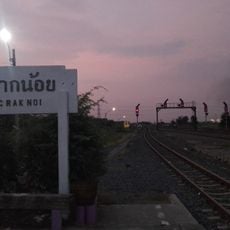
Chiang Rak Noi
10.6 km
Wat Protsat
7.9 km
Wat Yom
4.9 km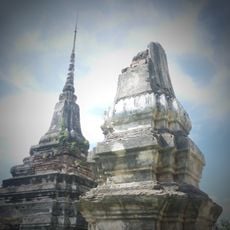
Wat Chang Thong
9.4 km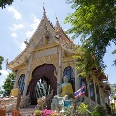
Wat Bang Kracha
13.2 km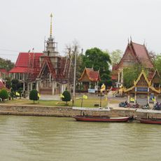
Wat Khun Phrom
13.4 km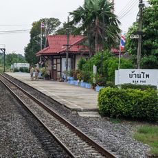
Ban Pho Railway Station
6.3 km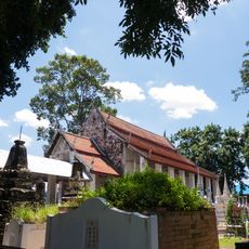
Wat Nang Kui
13.5 km
Wat Wang Chai
13.4 km
Wat Chao Prap
13.2 km
The Rabbit Water Park
11.2 km
Wat Som
12.9 km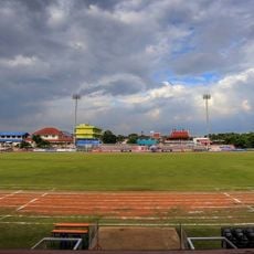
Udhomseelwitthaya School Stadium
5.8 km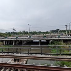
Khlong Chik
62 m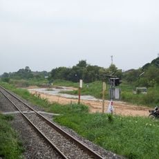
Nawa Nakhon railway halt
12.4 kmReviews
Visited this place? Tap the stars to rate it and share your experience / photos with the community! Try now! You can cancel it anytime.
Discover hidden gems everywhere you go!
From secret cafés to breathtaking viewpoints, skip the crowded tourist spots and find places that match your style. Our app makes it easy with voice search, smart filtering, route optimization, and insider tips from travelers worldwide. Download now for the complete mobile experience.

A unique approach to discovering new places❞
— Le Figaro
All the places worth exploring❞
— France Info
A tailor-made excursion in just a few clicks❞
— 20 Minutes