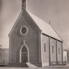
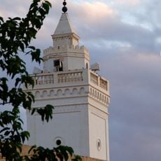
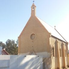
Gafsa, City of Tunisia
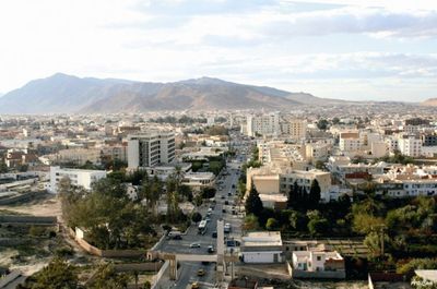
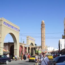
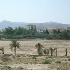
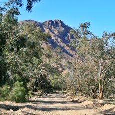
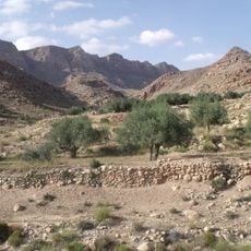
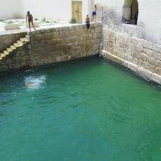
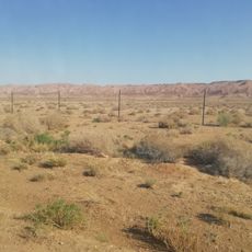
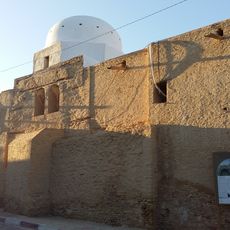
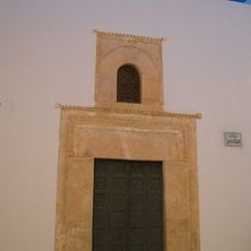
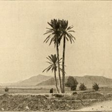
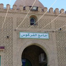
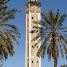
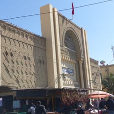
Gafsa is a city in southwest Tunisia with 2,000 years of history and significant Roman ruins including ancient baths and cisterns. The city is surrounded by an oasis with date palms and gardens, featuring narrow streets with busy markets where fresh produce and crafts are sold daily.
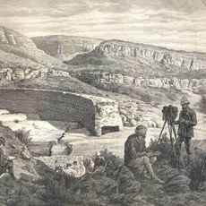
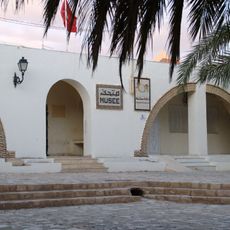
Romans conquered Gafsa in the 2nd century and rebuilt the city after destroying it, creating lasting infrastructure. The city changed hands among rulers for centuries, losing prominence over time, until phosphate mining began in the late 1800s and became the foundation of its modern economy.
Gafsa is shaped by Berber heritage, the original inhabitants of North Africa who maintain their languages and traditions. The busy markets reflect this cultural continuity, where locals daily trade spices, crafts, and fresh produce while sharing stories and keeping neighborhood traditions alive.
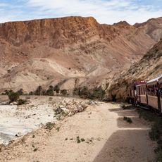
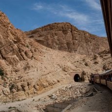
The city offers hotels at various price levels and a youth hostel for budget travelers, plus several restaurants from simple to prepared options. Gafsa has good transport links including buses, taxis, car rentals, trains, and a nearby airport, making it straightforward to reach and explore.
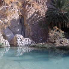
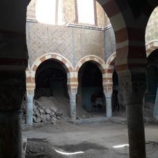
The Roman thermal baths are fed by hot spring water reaching around 30°C (85°F), where children traditionally dive for coins that visitors can toss. These baths are the only ones of their kind in Tunisia, offering a fascinating window into daily life that has continued since ancient times.
The community of curious travelers
AroundUs brings together thousands of curated places, local tips, and hidden gems, enriched daily by 60,000 contributors worldwide.