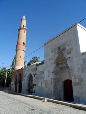
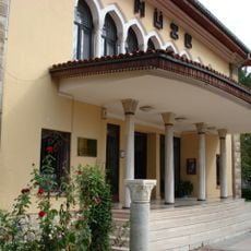
Akşehir, Administrative district center in Konya Province, Turkey.
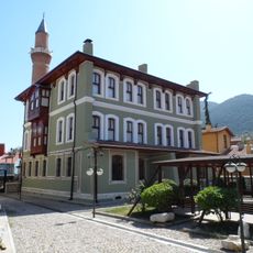
Akşehir is an administrative center in the southwestern region of Konya Province, situated at an elevation of approximately 1,025 meters. The town spreads across around 895 square kilometers and contains several neighborhoods including Altuntaş, Atakent, and Çakıllar.
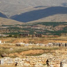
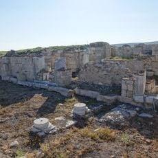
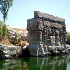
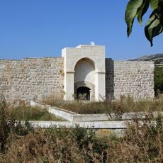
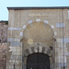
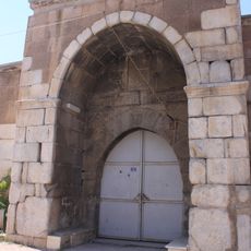
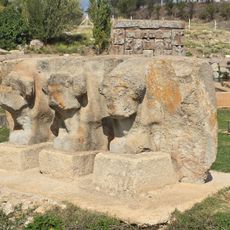
During the Greco-Roman period, the settlement was called Philomelium and functioned as an important crossroads on a major route connecting Ephesus with regions to the east. This ancient strategic importance shaped the town's development across centuries.
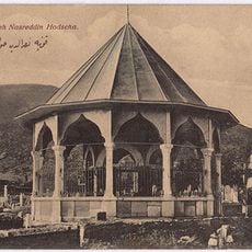
The town is closely connected to Nasreddin Hoca, a legendary figure in Turkish folklore whose tomb is located here and remains a place of reverence. Local celebrations dedicated to this humorous folk hero shape the cultural rhythm of community life.
The best time to visit is from spring through autumn when the weather is mild and dry. Visitors should bring comfortable shoes since exploring the different neighborhoods requires considerable walking.
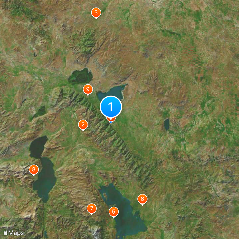
Nearby sits Lake Akşehir, a freshwater lake of tectonic origin covering about 350 square kilometers. This natural water body offers a calm setting for bird watching and contrasts with the dry highland landscape surrounding it.
The community of curious travelers
AroundUs brings together thousands of curated places, local tips, and hidden gems, enriched daily by 60,000 contributors worldwide.