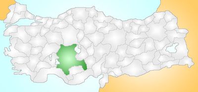
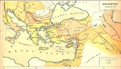
Konya Province, Ancient administrative province in Central Anatolia, Turkey
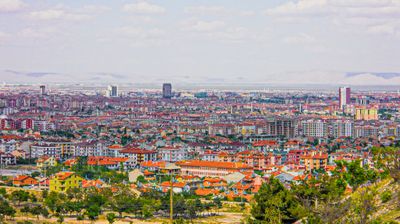
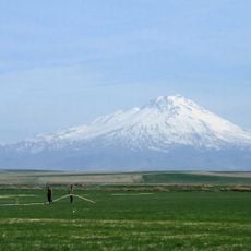
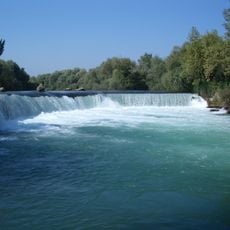
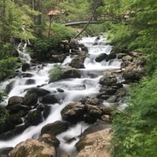
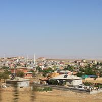
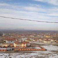
Konya Province is an administrative territory in central Turkey that extends across wide plains, mountain ranges, and several lakes. The terrain alternates between dry steppes, irrigated fields, and scattered woodlands that together form a varied landscape.
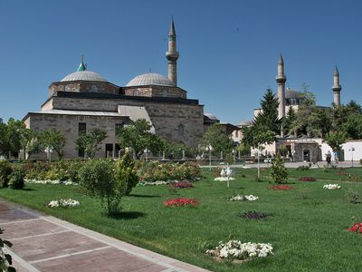
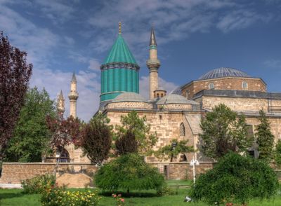
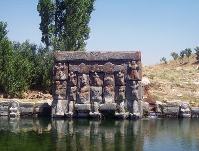
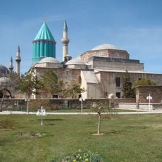
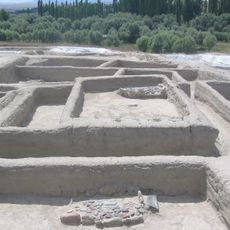
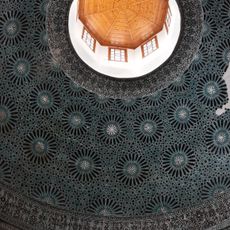
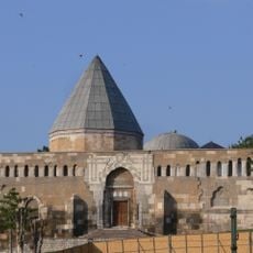
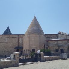
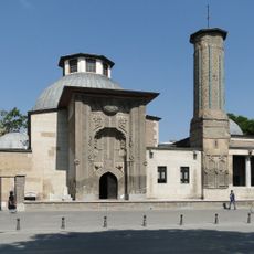
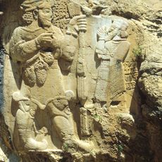
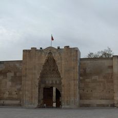
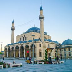
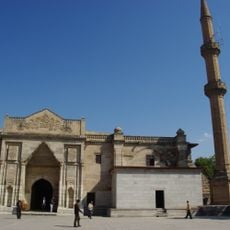
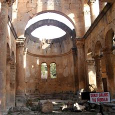
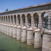
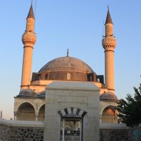
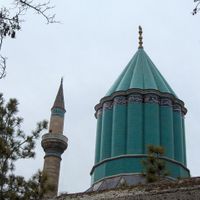
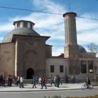
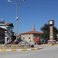
The area served as the center of the Seljuk realm between the 11th and 13th centuries, leaving behind numerous mosques and caravanserais. After the Seljuks ended, control shifted several times until it became part of the Ottoman Empire and later modern Turkey.
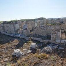
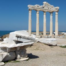
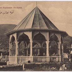
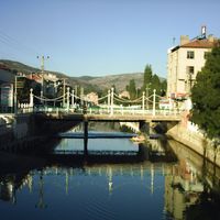
The region takes its name from ancient Iconium and today appears in numerous medieval Islamic buildings that shape the urban fabric. Locals frequently visit shrines and tombs scattered throughout the area, forming part of daily religious life.
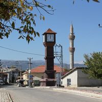
Travelers reach the region by high-speed train, intercity bus, or plane, with roads connecting all major towns. Distances between cities are considerable, so planning your route ahead helps.
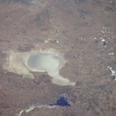
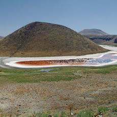
Part of the large salt lake within the territory turns pink during certain months due to microorganisms in the water. Salt extraction from this lake covers more than half of Turkish demand.
Location: Turkey
Capital city: Konya
Part of: Konya Subregion
Shares border with: Ankara Province, Aksaray Province, Niğde Province, Mersin Province, Karaman Province, Antalya Province, Afyonkarahisar Province, Isparta Province, Eskişehir Province
Website: http://konya.gov.tr
GPS coordinates: 37.87250,32.49194
Latest update: December 5, 2025 16:34
Çatalhöyük
37.4 km
Mevlâna Museum
1.1 km
Lake Tuz
129.7 km
Side Ancient City
156.9 km
Mount Hasan
149.5 km
Amorium
165.2 km
Manavgat Waterfall
149.4 km
Alâeddin Mosque
131 m
Temple of Apollo
156.5 km
Nasreddin Hodja Tomb
108.3 km
Eşrefoğlu Mosque
71.2 km
Ivriz rock reliefs
156.8 km
Sultan Han
101.5 km
Seleucia
143 km
Kızılören Han
28.9 km
Selim Konya Mosque
1.1 km
Ulu Camii
145.7 km
Pınargözü Cave
105.9 km
Oymapinar Dam
136.8 km
Alahan Monastery
144.2 km
Aziziye Mosque
827 m
Seljuk Tower
1.8 km
Alayhan
178.1 km
Tomb of Ahi Evren
203.1 km
Leaning Minaret
145.9 km
Konya Tropical Butterfly Garden
8.9 km
Boncuklu Höyük
35.4 km
Lake Beyşehir National Park
82.5 kmReviews
Visited this place? Tap the stars to rate it and share your experience / photos with the community! Try now! You can cancel it anytime.
Ahırlı District
Akören
Akşehir
Altınekin
Beyşehir
Bozkır
Çeltik
Cihanbeyli
Çumra
Derbent
Derebucak
Doğanhisar
Emirgazi
Ereğli
Güneysınır
Hadim
Halkapınar
Hüyük
Ilgın
Kadınhanı
Karapınar
Karatay
Konya
Kulu
Meram
Sarayönü
Selçuklu
Seydişehir
Taşkent
Tuzlukçu
Yeniceoba
Yalıhüyük
Yunak
Cihanbeyli District
Akşehir İlçesi
Altınekin İlçesi
Derbent İlçesi
Hüyük İlçesi
Taşkent İlçesi
Çeltik İlçesi
Çumra İlçesi
Discover hidden gems everywhere you go!
From secret cafés to breathtaking viewpoints, skip the crowded tourist spots and find places that match your style. Our app makes it easy with voice search, smart filtering, route optimization, and insider tips from travelers worldwide. Download now for the complete mobile experience.
A unique approach to discovering new places❞
— Le Figaro
All the places worth exploring❞
— France Info
A tailor-made excursion in just a few clicks❞
— 20 Minutes