Beyşehir, district in Konya Province, Turkey
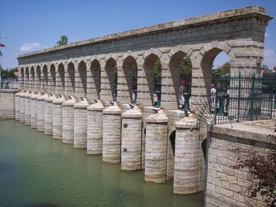
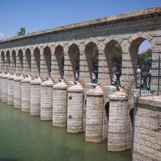
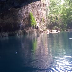
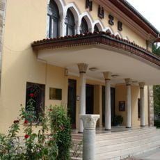
Beyşehir is a town in Konya Province in central Turkey, situated beside the country's third largest freshwater lake. The place spreads out around calm water with flat surroundings, filled with simple homes, small shops, and farmland.
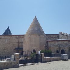
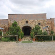
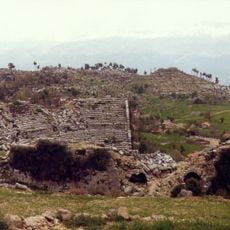
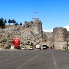
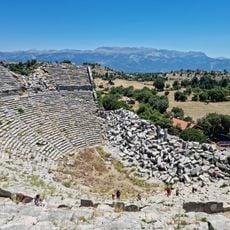
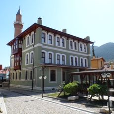
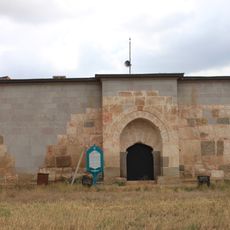
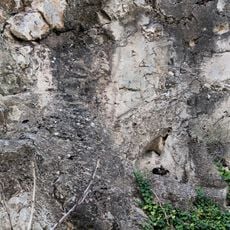
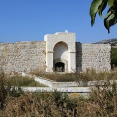
The region was known in ancient times as Pisidia and housed communities from the Hittite period, whose remains are still visible today. In the Middle Ages the settlement was called Viransehir, and later the Seljuk Turks built a summer palace called Kubadabad there.
The name Beyşehir comes from Turkish, meaning "lord's city". Here you can see how fishing and farming shape daily life today, with summer gatherings where the community shares traditional music, dance, and food in public spaces.
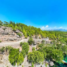
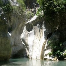
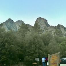
The area is easy to explore on foot, with straightforward streets and open spaces to navigate. Summer months offer the best conditions, with warm weather perfect for fishing or boating on the lake, while walking along the shoreline is pleasant year-round.
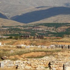
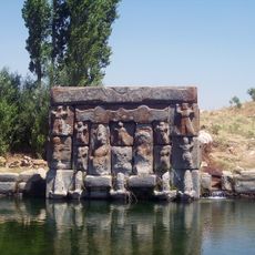
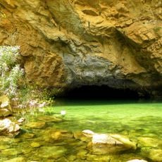
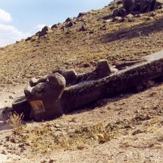
A special site called Eflatun Pınar in a protected park features a carved stone monument from the Hittite period, connected to ancient sacred symbols and water springs from that era. Archaeologists have uncovered layers of old structures in nearby hills, revealing that communities lived here many centuries before written history began.
The community of curious travelers
AroundUs brings together thousands of curated places, local tips, and hidden gems, enriched daily by 60,000 contributors worldwide.