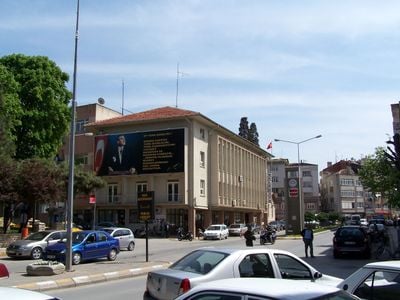
Kırklareli, Provincial capital in northwestern Turkey
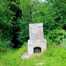
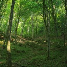
Kırklareli is a provincial capital in northwestern Anatolia that spreads across rolling terrain with dense deciduous forests to the north and farming land to the south. The town serves as a transition between mountainous and agricultural regions.
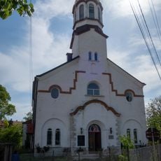
The place originally bore the name Kırk Kılıse, meaning "Forty Churches," but was renamed Kırklareli in 1923 following the establishment of the Turkish Republic. This change reflected the political transformation in the region after the Ottoman era.
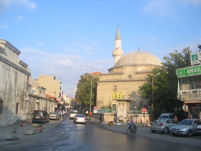
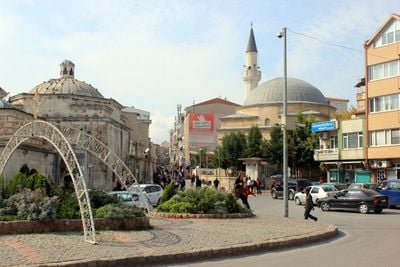
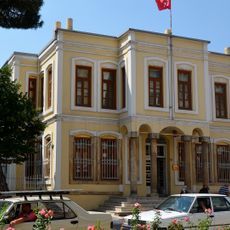
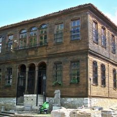
The Hızır Bey Mosque and its attached bathhouse date from the late 14th century and display traditional Ottoman craftsmanship with carved stonework and geometric designs. Visitors can observe how religious and daily-life spaces were built and decorated during this period.
The town connects to the Istanbul-Edirne railway line, offering transport links for travelers and freight. This connection makes it straightforward for visitors to arrive by train when planning their trip.
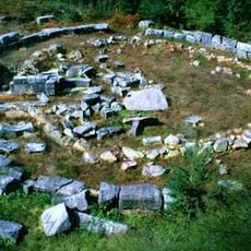
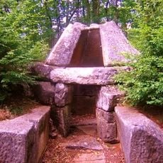
Archaeological excavations reveal that people lived in this area during the Stone Age, leaving behind some of the earliest traces of human settlement on the European continent. These discoveries offer insight into how our ancestors adapted to this landscape thousands of years ago.
The community of curious travelers
AroundUs brings together thousands of curated places, local tips, and hidden gems, enriched daily by 60,000 contributors worldwide.