San Fernando, Administrative center in Trinidad Island, Trinidad and Tobago
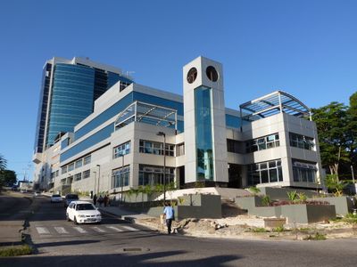
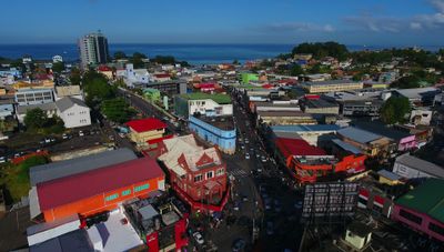
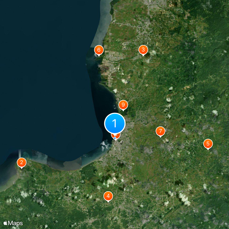
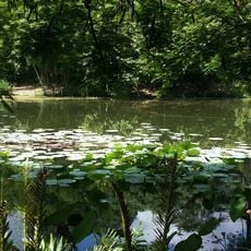
San Fernando sits in the southwestern part of Trinidad Island, between the Guaracara River and the Oropouche River, covering an area of 19 square kilometers. The city serves as a regional hub for administration and services in southern Trinidad, connecting several suburbs with the waterfront and surrounding agricultural zones.
The settlement gained borough status in 1853 and grew as a commercial and administrative center for the surrounding agricultural regions. On November 18, 1988, it officially became a city, marking its rise from a small market town to the main center of southern Trinidad.
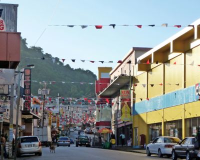
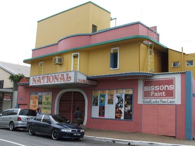
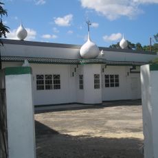
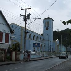
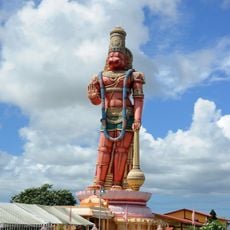
The city name honors King Ferdinand III of Castile, reflecting the Spanish colonial period and the European influence on local naming traditions. Visitors notice the mix of communities in everyday life, with temples, churches and markets where people from different backgrounds come together.
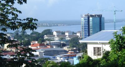
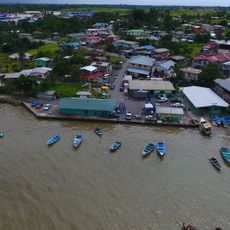
Water taxis connect the city to Port of Spain and provide an alternative route for travelers exploring the southern part of the island. The central location makes orientation easier, as many streets lead toward the waterfront and the two hills that serve as natural landmarks.
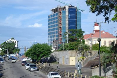
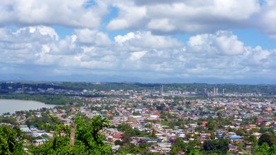
San Fernando Hill and Alexander Hill shape the skyline and provide landmarks visible from many streets throughout the city. These two elevations have influenced the layout of neighborhoods, with streets and residential areas often following the contours of their slopes.
The community of curious travelers
AroundUs brings together thousands of curated places, local tips, and hidden gems, enriched daily by 60,000 contributors worldwide.