Bagua Plateau, Mountain plateau in central-western Taiwan
Bagua Plateau is a long ridge in central-western Taiwan, running between Changhua County to the west and Nantou County to the east. Several hiking trails cross the ridge and connect to lookout points from which both lowland plains are visible at the same time.
The plateau was shaped by geological uplift over a very long period, forming a natural barrier between the two flanking lowlands. This divide shaped how settlements and travel routes developed on each side over time.
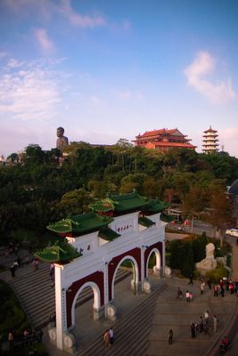
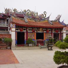
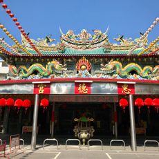
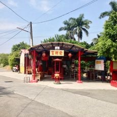
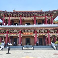
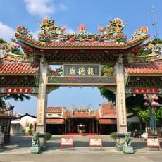
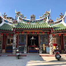
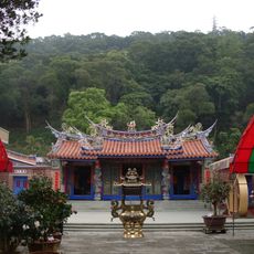
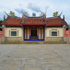
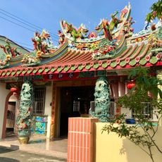
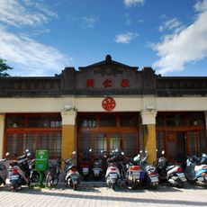
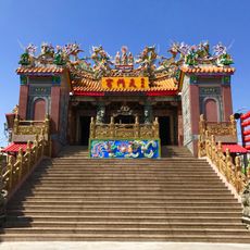
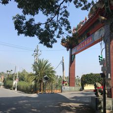
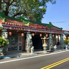
Small temples and shrines dot the plateau, visited by locals who maintain spiritual traditions rooted in the landscape. The footpaths connecting rural villages show how communities have long adapted to living between two plains, shaping daily routines around the terrain.
Sturdy shoes are a good idea since some paths are steep and can become slippery after rain. Starting early in the morning gives the clearest views and leaves enough time to walk back before dark.
The ridge sits along one of the main routes that migratory birds follow each year between mainland Asia and Southeast Asia, drawing large flocks during migration season. Birdwatchers travel specifically at this time of year to watch birds of prey and other species pass overhead.
The community of curious travelers
AroundUs brings together thousands of curated places, local tips, and hidden gems, enriched daily by 60,000 contributors worldwide.