Arkhanhelske, Administrative settlement in Vysokopillia Raion, Ukraine.
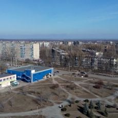
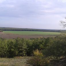
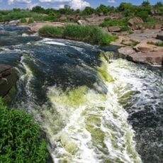
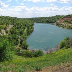
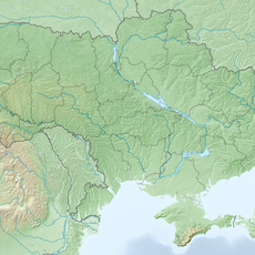
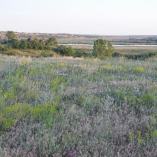
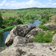
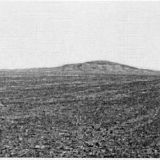
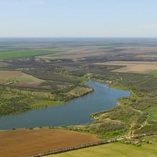
Arkhanhelske is a rural settlement in southern Ukraine positioned at 21 meters elevation along the left bank of the Inhulets River. The location's geography is defined by this riverbank setting, which shapes how the settlement connects to the surrounding landscape and nearby communities.
The settlement held urban-type status until July 2020, when administrative reforms reorganized regional divisions within Kherson Oblast. This change represented part of a broader restructuring of Ukraine's administrative framework.
The settlement carries a name with variations across Slavic languages, reflecting the region's connections to different cultural influences. This multilingual naming tradition mirrors how people and ideas moved through the area over time.
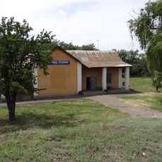
The settlement is accessible through the nearby Blakytne railway station and road connections to larger cities like Beryslav and Nikopol. The rural location requires some advance planning, particularly if you want to explore the area without a personal vehicle.
In January 2024, Ukraine abolished the Soviet-era classification of urban-type settlements, marking a significant administrative shift for communities like this one. This transformation reshaped how many traditional settlements are now officially categorized and governed.
The community of curious travelers
AroundUs brings together thousands of curated places, local tips, and hidden gems, enriched daily by 60,000 contributors worldwide.