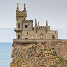
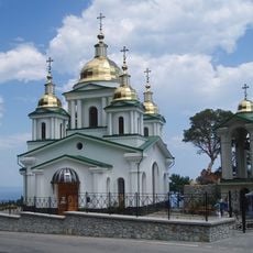
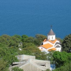
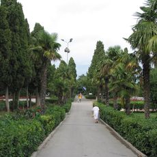
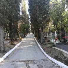
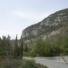
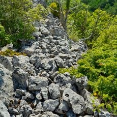
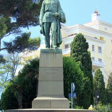
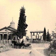
Oreanda, human settlement in Yalta Urban Okrug, Autonomous Republic of Crimea, Russian Federation.
Location: Yalta Urban Okrug
Location: Лівадійська селищна рада
Location: Yalta Municipality
Elevation above the sea: 197 m
Website: http://w1.c1.rada.gov.ua/pls/z7502/A005?rdat1=04.06.2014&rf7571=1300
GPS coordinates: 44.45861,34.13667
Latest update: March 3, 2025 11:50
Swallow's Nest
3.2 km
Livadia Palace
1.2 km
White Dacha
3.7 km
Denkmal für Stalin, Roosevelt und Churchill
1.2 km
Yalta Mountain-Forest Nature Reserve
3.7 km
Kharaks Palace
3.6 km
Emir Palace, Yalta
3.6 km
Kichkine Palace
2.4 km
Church of Archangel Michael
1.1 km
Харакс паркы
3.7 km
Livadiiskyi Park
1.2 km
Avrorina Rock
3.2 km
Intercession church in Livadia, Yalta
470 m
Avanhard Stadium, Yalta
3.6 km
Seaside Park in the name of Y. A. Gagarin
3.1 km
Old cemetery
3.1 km
Glade of Fairy Tales
2.6 km
Ai-Nicola
931 m
Leuchtturm Ai-Todor
3.6 km
Krestovaya Mountain
445 m
Sitting statue of Chekhov in Yalta
3.5 km
Karakuli
2 km
Նիկոլայ Բիրյուկովի տուն-թանգարան
3.7 km
Будинок електростанції
1.9 km
Immaculate Conception church in Yalta
3.9 km
Памятник Максиму Горькому
3.8 km
Колоннада в Ялте
3.5 km
Церковь святого Феодора Тирона
3.8 kmVisited this place? Tap the stars to rate it and share your experience / photos with the community! Try now! You can cancel it anytime.
Discover hidden gems everywhere you go!
From secret cafés to breathtaking viewpoints, skip the crowded tourist spots and find places that match your style. Our app makes it easy with voice search, smart filtering, route optimization, and insider tips from travelers worldwide. Download now for the complete mobile experience.
A unique approach to discovering new places❞
— Le Figaro
All the places worth exploring❞
— France Info
A tailor-made excursion in just a few clicks❞
— 20 Minutes