
Buda, Siedlung im Rajon Tschyhyryn, Ukraine
Location: Chyhyryn Raion
Location: Cherkasy Raion
Elevation above the sea: 185 m
GPS coordinates: 49.10861,32.25944
Latest update: March 11, 2025 01:59
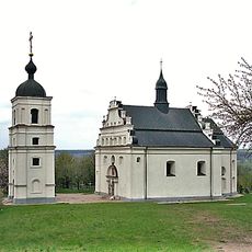
Illinska Church in Subotiv
21.6 km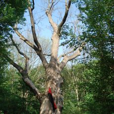
Millennial oak tree of Maksym Zaliznyak
588 m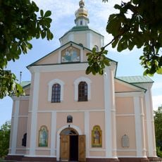
Motroninskiy monastery
5 km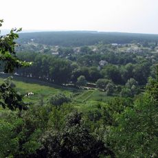
Chyhyryn Castle
30.1 km
Shaieva hora
20.8 km
Museum of Bohdan Khmelnytsky
29.2 km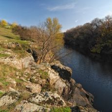
Tiasmyn canyon
14.7 km
Bastion of Doroshenko
29.2 km
Motronynske Hill Fort
5.2 km
Three wells
20.7 km
Medvedivsʹkyĭ Mykolaïvsʹkyĭ monastyr
14.8 km
Dekabrystiv Park
14.1 km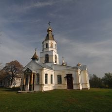
Svi͡ato-Onufriïvsʹkyĭ monastery
5 km
Bilosnizny preserve
6.2 km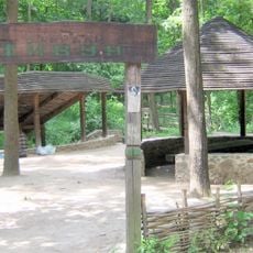
Atamansky park
7.5 km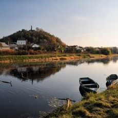
Castle Hill
29.2 km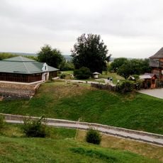
Subotiv history museum
21.3 km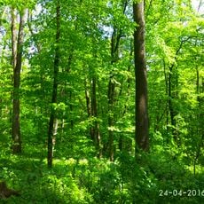
Kholodnyi Yar
4.1 km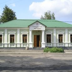
Archaeological Museum (Chyhyryn)
30.2 km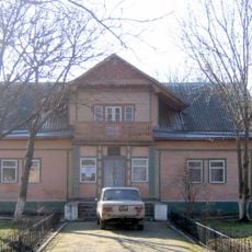
Medvedivka Local History Museum
11.2 km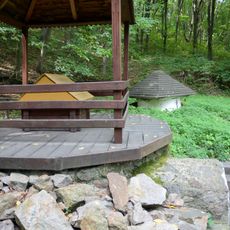
Monastyrske dzherelo
5.2 km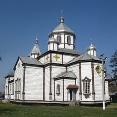
Church of Archangel Michael
13.8 km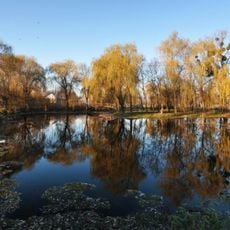
Smila City Park
30.5 km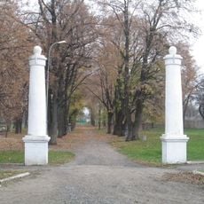
Shevchenko Park in Chyhyryn
30.3 km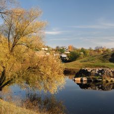
Pushkin Rock
14.4 km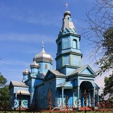
Church of the Assumption
9.6 km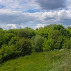
Trostianka
14.4 km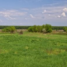
Zamiatnytsky Preserve
11 kmReviews
Visited this place? Tap the stars to rate it and share your experience / photos with the community! Try now! You can cancel it anytime.
Discover hidden gems everywhere you go!
From secret cafés to breathtaking viewpoints, skip the crowded tourist spots and find places that match your style. Our app makes it easy with voice search, smart filtering, route optimization, and insider tips from travelers worldwide. Download now for the complete mobile experience.

A unique approach to discovering new places❞
— Le Figaro
All the places worth exploring❞
— France Info
A tailor-made excursion in just a few clicks❞
— 20 Minutes