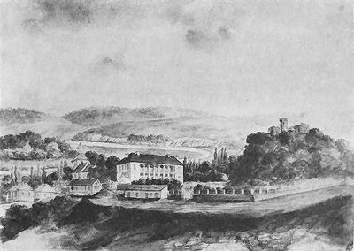
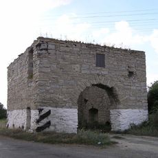
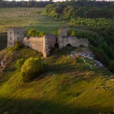
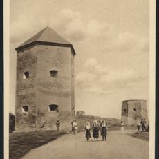
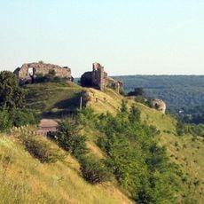
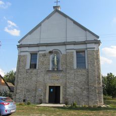
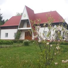
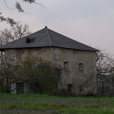
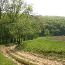
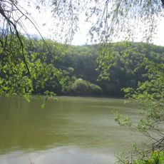
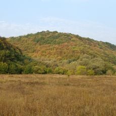
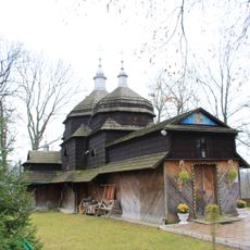
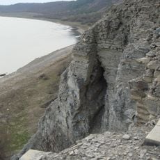
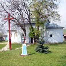
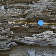
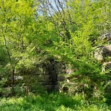
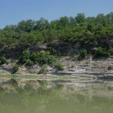
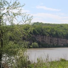
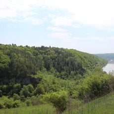
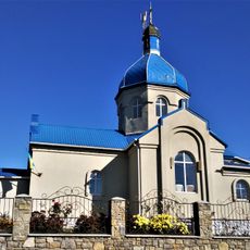
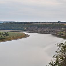
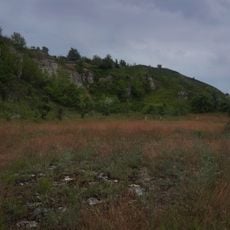
Chornokozyntsi, village in Kamianets-Podilskyi Raion, Khmelnytsky Oblast, Ukraine
Location: Kamianets-Podilskyi Raion
Elevation above the sea: 173 m
GPS coordinates: 48.65917,26.28194
Latest update: March 29, 2025 01:48
Okopy Castle
16.6 km
Crystal Cave
14.4 km
Atlantida
8.1 km
Kudryntsi Castle
5.5 km
Kryvche Castle
14.1 km
Chornokozyntsi Castle
251 m
Holy Trinity church
16.7 km
Hermakivka Dendropark
9.3 km
Ryhta Castle
10.4 km
Dovzhotskyi Nature Reserve
15.8 km
Trubchyn Tract
15.8 km
Outcrops of Silurian in Kudryntsi
4.4 km
Outcrops of Silurian in Okopy
16.2 km
Hryniatska Stinka-1
17 km
Saint Nicholas church
16.4 km
Khudykivske exposure of Lower Cretaceous sediments
12.4 km
Saint Nicholas church
1.9 km
Devonian outcrops in Kryvche
14.1 km
Silurian-Devonian deposits in Dnistrove
15.4 km
Stratotype of Zvenyhorodska Suite
14.7 km
Мельнице-Подільський замок
11.4 km
Exfoliation of the Silur, Trubchyn
16.1 km
Exfoliation of the Silur in Dzvenyhorod
13.2 km
Dzvenyhorod Oaks
12.7 km
Church of the Nativity of John the Baptist, Orynyn
13.9 km
Orestovskyi zakaznyk
16.3 km
Розріз скальської серії силура
8.4 km
Urochyshche Romanskoho
12.1 kmReviews
Visited this place? Tap the stars to rate it and share your experience / photos with the community! Try now! You can cancel it anytime.
Discover hidden gems everywhere you go!
From secret cafés to breathtaking viewpoints, skip the crowded tourist spots and find places that match your style. Our app makes it easy with voice search, smart filtering, route optimization, and insider tips from travelers worldwide. Download now for the complete mobile experience.
A unique approach to discovering new places❞
— Le Figaro
All the places worth exploring❞
— France Info
A tailor-made excursion in just a few clicks❞
— 20 Minutes