Damanskyi, Historic district in Ternivskyi District, Kryvyi Rih, Ukraine.
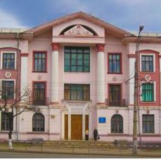
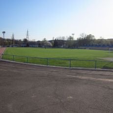
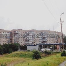
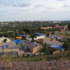
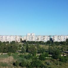
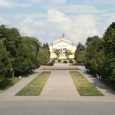
Damanskyi is a district in Kryvyi Rih that consists of residential blocks and public spaces reflecting Soviet-era urban planning models. The area is characterized by planned street networks and multi-story apartment buildings typical of that period's urban development.
The district was established in 1970 as part of Kryvyi Rih's expansion during the growth of mining operations in the region. This development was closely tied to economic expansion that supported the city's growing population.
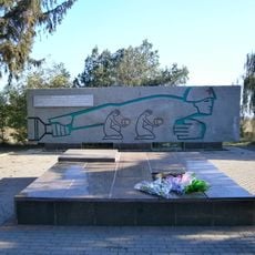
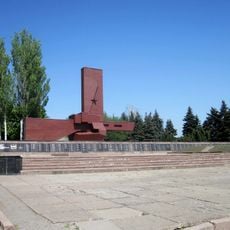
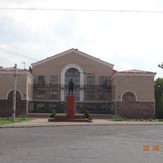
The neighborhood houses several schools and community centers where residents gather for local events and programs that reflect the city's industrial heritage.
The area is well served by public transportation, with regular bus connections to the city center and other neighborhoods. Visitors should allow time to explore on foot, as the district spreads across a wide area with walkable streets.
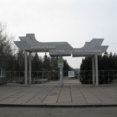
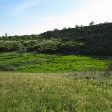
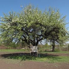
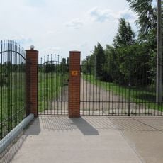
The neighborhood preserves green spaces between residential complexes that were intentionally designed for community gatherings and recreation. This deliberate inclusion of parks and open areas reflects the planning philosophy of that era.
Location: Kryvyi Rih
Inception: 1970s
GPS coordinates: 48.14528,33.58944
Latest update: December 12, 2025 17:48
33 Vatutina Street, Kryvyi Rih
16.2 km
Botanical garden in Kryvyi Rih
970 m
Monument to the dead miners, Kryvyi Rih
15.9 km
Transfiguration Cathedral, Kryvyi Rih
24.8 km
Veseli Terny
5 km
Zhovtneva Mine Stadium
20.4 km
Landscape Reserve Chervona Balka Pivnichna
7.2 km
Tomb of Baba Memorial
5.4 km
Крэсовское водохранилище
17 km
Soniachnyi
23.6 km
Bilshovyk
22.8 km
Bazhanove
21.4 km
Церковь Святого Николая
23.3 km
In The Firing Line memorial, Kryvyi Rih
11.6 km
Landscape Reserve Inhuletskyi Step
17.7 km
Nature conservation area Balka Pivnichna Chervona
7.2 km
Красінське водосховище
24.5 km
Old pear tree
26.1 km
Skhidnyi-2, 3
24 km
They Shall Not Pass memorial in Kryvyi Rih
5 km
Имени Фрунзе
18.7 km
Administrative building of the mine management of production association "Yugruda"
16.8 km
Ehrenpark
23.1 km
Vechirnii Kut
20.3 km
Vykhody amfibolitiv
24.4 km
Reiterstandbild der Helden des Befreiungskrieges des ukrainischen Volkes
23.1 km
Sukha Balka Stadium
15.5 km
Saksahan arboretum
15.5 kmVisited this place? Tap the stars to rate it and share your experience / photos with the community! Try now! You can cancel it anytime.
Discover hidden gems everywhere you go!
From secret cafés to breathtaking viewpoints, skip the crowded tourist spots and find places that match your style. Our app makes it easy with voice search, smart filtering, route optimization, and insider tips from travelers worldwide. Download now for the complete mobile experience.
A unique approach to discovering new places❞
— Le Figaro
All the places worth exploring❞
— France Info
A tailor-made excursion in just a few clicks❞
— 20 Minutes