
Rozluch, landscape reserve in Lviv Oblast, Ukraine
Location: Lviv Oblast
Inception: 1984
GPS coordinates: 49.24333,22.98333
Latest update: March 11, 2025 13:31


Pidbuzh
19.4 km
Laure de st-Onuphre
18.7 km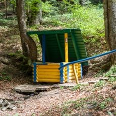
Витік річки Дністер
3.8 km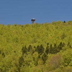
Jeleniowaty observation tower
20.8 km
Sokoliv Kamin
15.4 km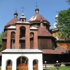
Church of Saint Michael Archangel in Bystre
20.6 km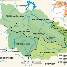
Nadsiansky Regional Landscape Park
14.3 km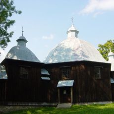
Saint John the Baptist church in Michniowiec
19.2 km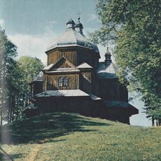
Church of Saint Michael Archangel in Lutowiska
21.1 km
Synagogue in Staryi Sambir
21.2 km
Mineral water in Rozluch
549 m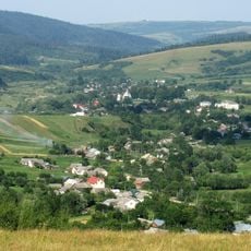
Verkhniodnistrovski Beskids Landscape Park
17.1 km
Джерело мінеральної води
429 m
WOP post in Lutowiska
21.1 km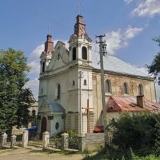
Church of the Dormition, Turka
10.8 km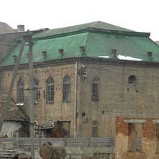
Synagogue in Turka
10 km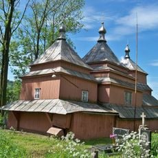
Church of the Translation of the Relics of Saint Nicholas, Turka
10 km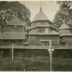
Церква святого Миколая (Турка)
10 km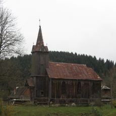
Костел Святого Франциска Борджія
1.3 km
Скеля, де був збудований замок Данила Галицького
17.4 km
Saint Eustace church, Strilky
9.3 km
Synagogue in Lutowiska
20.9 km
Dydiowska Jama
20.1 km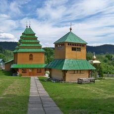
Church of Nativity of the Theotokos, Rozluch
1.2 km
Church of the Dormition, Topilnytsia
8.6 km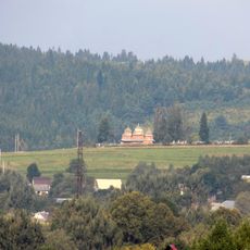
Orthodox church of the Dormition in Turka
10 km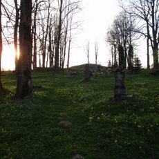
Old catholic cemetery in Lutowiska
21.1 km
Cerkiew Opieki Matki Bożej w Świdniku
13.8 kmReviews
Visited this place? Tap the stars to rate it and share your experience / photos with the community! Try now! You can cancel it anytime.
Discover hidden gems everywhere you go!
From secret cafés to breathtaking viewpoints, skip the crowded tourist spots and find places that match your style. Our app makes it easy with voice search, smart filtering, route optimization, and insider tips from travelers worldwide. Download now for the complete mobile experience.

A unique approach to discovering new places❞
— Le Figaro
All the places worth exploring❞
— France Info
A tailor-made excursion in just a few clicks❞
— 20 Minutes