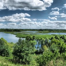
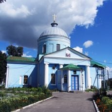
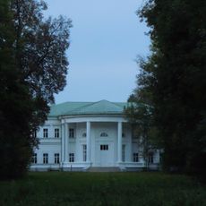
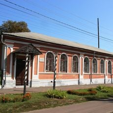
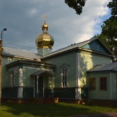
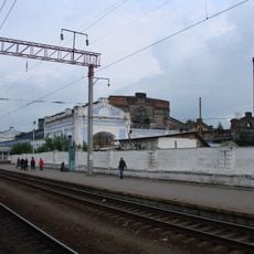
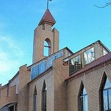
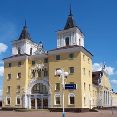
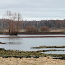
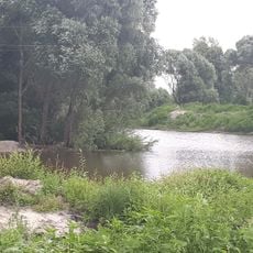
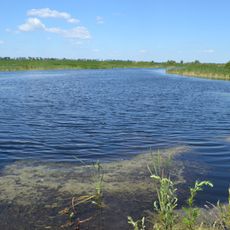
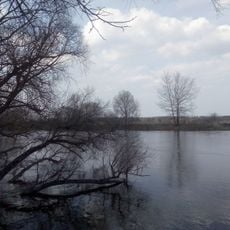
Konotop urban hromada, territorial hromada in Konotop Raion, Sumy Oblast, Ukraine
Location: Konotop Raion
Website: https://gromada.info/gromada/konotopska
GPS coordinates: 51.20998,33.24595
Latest update: March 4, 2025 04:15
Pałac hetmana Kiriła Rozumowskiego
28.2 km
National Historical and Cultural Preserve «Hetman's capital»
28.9 km
Shukhov Water Tower (Konotop)
4.8 km
Baturyn fortress
29 km
Prayer for Ukraine
28.5 km
Seimskyi Landscape Park
28.4 km
Вознесенський собор (Конотоп)
4.8 km
Бочечки
16 km
Dragomirov House
5.1 km
Saint Nicholas church, Konotop
4.1 km
Main railroad workshop in Konotop
4.4 km
Our Lady of Fatima church, Konotop
5.6 km
Arboretum Konotop forestry
4.6 km
Залізничний вокзал
28.4 km
Mutynskyy
24.4 km
Kozatska Mohyla
9.3 km
Ozarichanskyy
14.3 km
Tynytsia Park
24.7 km
Yezuchskyy
11.1 km
Grujchanskyy
16.9 km
Kosarivshichina
27.6 km
Priseymskyy
18 km
Bochechanskyy
17.5 km
Парк Княгині Львової
17.2 km
Духанівський заказник
27.6 km
Karabutivskyy
15.8 km
Алея письменників
26.2 km
Kuchuhurske
27.6 kmReviews
Visited this place? Tap the stars to rate it and share your experience / photos with the community! Try now! You can cancel it anytime.
Discover hidden gems everywhere you go!
From secret cafés to breathtaking viewpoints, skip the crowded tourist spots and find places that match your style. Our app makes it easy with voice search, smart filtering, route optimization, and insider tips from travelers worldwide. Download now for the complete mobile experience.
A unique approach to discovering new places❞
— Le Figaro
All the places worth exploring❞
— France Info
A tailor-made excursion in just a few clicks❞
— 20 Minutes