Rickmansworth, Market town in Hertfordshire, England
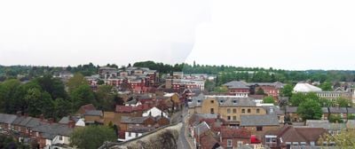
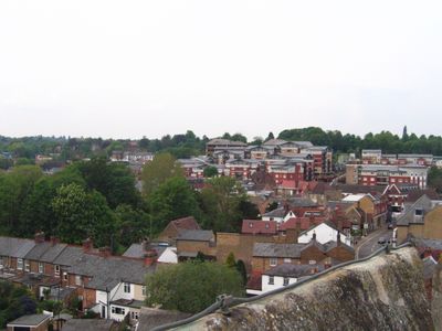
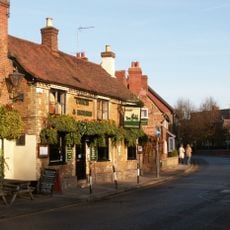
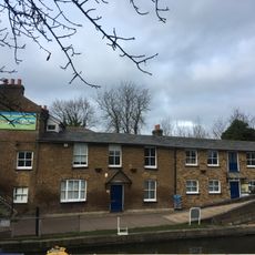
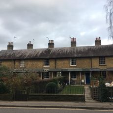
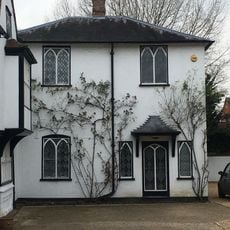
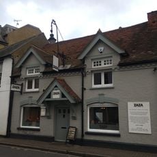
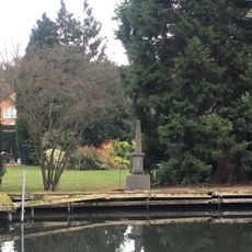
Rickmansworth is a market town situated at the convergence of the Chess, Colne, and Gade rivers, nestled within natural valleys surrounded by green meadows and woodlands. The Grand Union Canal runs through parts of the center, creating a network of towpaths, parks, and historic buildings that define the town's character.
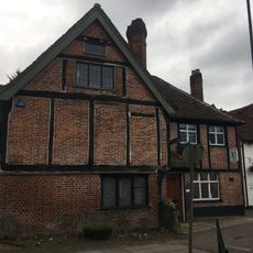
The settlement appears in the Domesday Book of 1086 as Ricmanesford, beginning as a riverside community that shifted character during the 19th century with railway expansion. The arrival of the Metropolitan Line and Chiltern Railways transformed it from a rural village into a connected town.
The town's identity is tied to water and trade, visible today through the restored canal corridors where locals and visitors walk along towpaths lined with narrowboats and period buildings. The waterways remain central to how people experience and gather in this place.
The station has direct connections via Metropolitan Line and Chiltern Railways to central London, making the town easy to reach for day visitors and commuters. Walking routes along the canal and river paths provide straightforward ways to explore the center and surrounding green areas.
Until the mid-20th century, a thriving watercress farming industry flourished here, fed by natural springs and clear water channels that still flow through the area. The remnants of these beds and channels tell the story of how the town once relied on harvesting this crop for its livelihood.
The community of curious travelers
AroundUs brings together thousands of curated places, local tips, and hidden gems, enriched daily by 60,000 contributors worldwide.